


placename:- Castlerigg
placename:- Cust
"Cust"
placename:- Castle Rigg
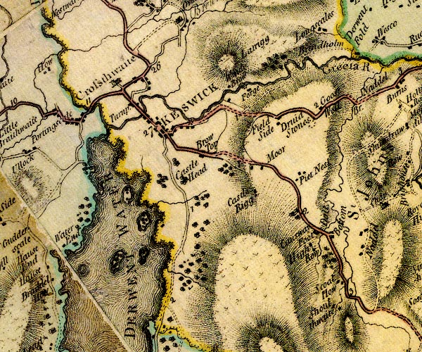
D4NY22SE.jpg
"Castle Rigg"
block or blocks, labelled in lowercase; a hamlet or just a house
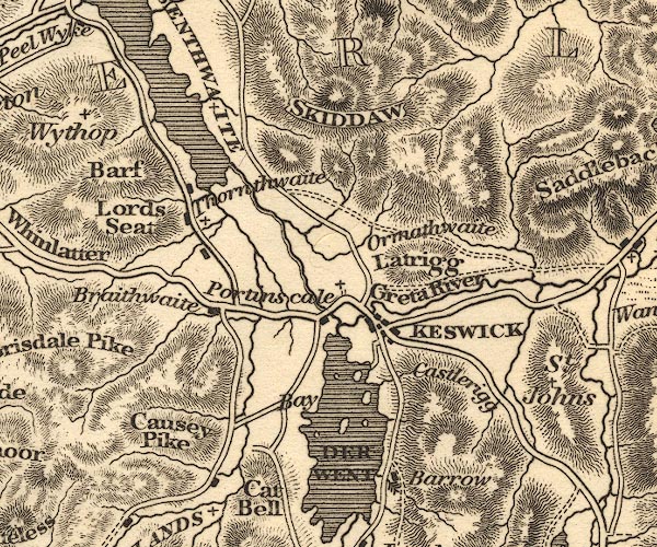
item:- Carlisle Library : Map 2
Image © Carlisle Library
placename:- Castlerigg
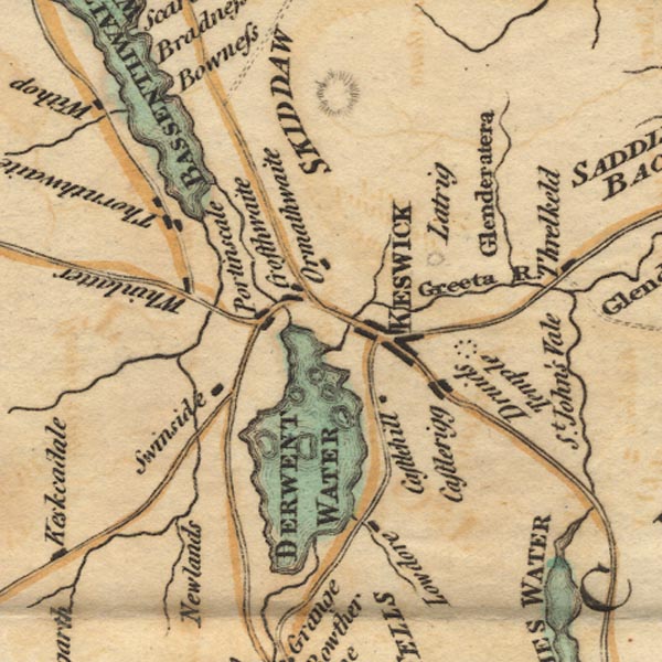
Ws02NY22.jpg
item:- Armitt Library : A1221.1
Image © see bottom of page
placename:- Castrigg
item:- placename, Castlerigg; castle
 goto source
Page 105:- "..."
"We will now ascend to the top of Castrigg ; some of our modern writers say that it took its name from a castle of the Radcliffs, or Derwentwaters, which stood upon it; and have gone so far as to tell you, that they built a house upon the Island called Lord's with the stones of it; none of them, however, tell whereabouts this castle stood, or find any the least vestiges of one: Besides, they might get stones at one twentieth part of the distance, and as there are no stones that can be wrought with chissels got in this part of the country, it would be no advantage at all that they had been made use of before."
"..."
 goto source
Page 107:- "Mr West, in his guide to the Lakes, says, that there has been a Roman station here. That they might have one near this Druidical temple I will not deny, but that they ever had one upon Castrigg, is, I think, very improbable. This idea has taken its rise from the name, which Mr West supposes to be a corruption of Castle-Rigg: on the contrary, I take Castrigg to be the original and proper name; it is so spelled in the manor-books, and seems, like many other names in this country, to be a compound of various languages, viz. Latin and English. It seems not improbable that this hill was, for a long time after the Romans left Britain, called simply Castra, or the camp, and that the addition of Rigg, which signifies a ridge or hill, was added to it at a very late period. That any encampment which was here was Roman, is pretty evident: The Romans, out of hatred to the persons and religious tenets of the Druids, always built their forts near some of their places of resort: They thus prevented the Britons from their usual visits to these fanes, and the Druids from encouraging their countrymen by their divination."
"..."
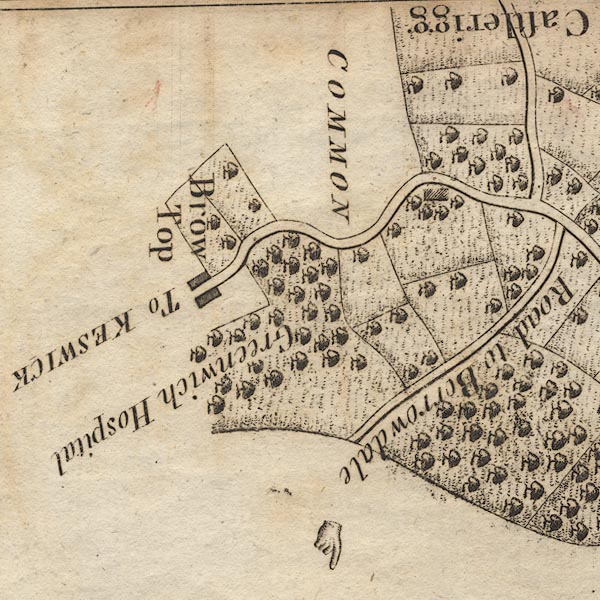
placename:- Castlerigg
CL9NY22Q.jpg
"Castlerigg"
item:- private collection : 10.9
Image © see bottom of page
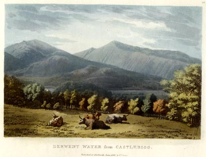
placename:- Castlerigg
item:- cattle
 click to enlarge
GN0533.jpg
Plate 36 in Lake Scenery.
printed at upper right:- "36"
printed at bottom:- "DERWENT WATER from CASTLERIGG. / Published at Ambleside, June 1, 1815, by Wm. Green."
item:- Armitt Library : A6646.33
Image © see bottom of page
placename:- Castlerigg
OT02NY22.jpg
item:- JandMN : 48.1
Image © see bottom of page
item:- viewpoint
 goto source
Page 111:- "...The Keswick road inclines to the left, and surmounting the cultivated ridge called Castlerigg, there is a full view of Derwent Lake, with part of that of Bassenthwaite, the town and vale of Keswick, with its surrounding mountains. ..."
placename:- Castle Hill
placename:- Castle Rigg
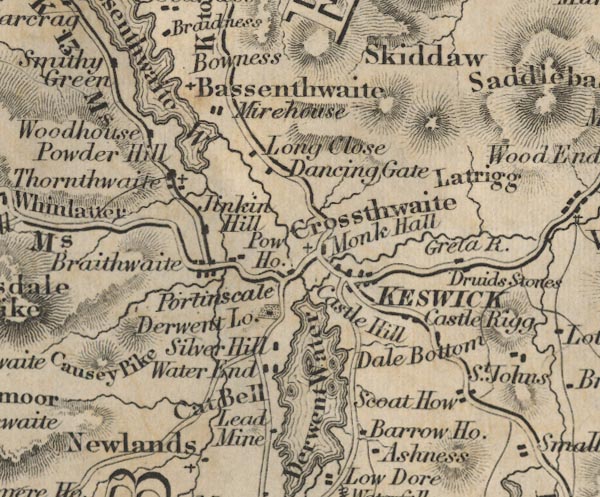
FD02NY22.jpg
"Castle Hill"
"Castle Rigg"
item:- JandMN : 100.1
Image © see bottom of page
placename:- Castle Hill
placename:- Castle Rigg

FD02NY22.jpg
"Castle Hill"
"Castle Rigg"
item:- JandMN : 100.1
Image © see bottom of page
 |
NY28202295 Castlerigg Brow (Keswick) |
 |
NY28242245 Castlerigg Farm (St John's Castlerigg and Wythburn) |
 |
NY28212253 Castlerigg Hall Farm (St John's Castlerigg and Wythburn) L |
 |
NY2822 Derwentwater Castle (Keswick) once? |
 |
NY28312295 Moor (St John's Castlerigg and Wythburn) |
 |
NY28402213 Rakefoot (St John's Castlerigg and Wythburn) |
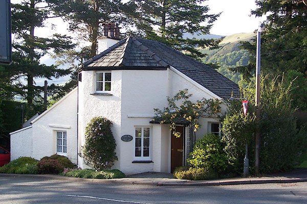 |
NY27822323 Tollbar Cottage (Keswick) |
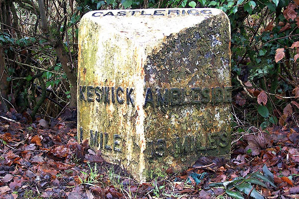 |
NY27892309 milestone, St John's Castlerigg etc (7) (St John's Castlerigg and Wythburn) |
