 Old Cumbria Gazetteer
 |
 |
|
| Braystones Station, Lowside Quarter | ||
| Braystones Station | ||
| site name:- | Whitehaven and Furness Junction Railway | |
| locality:- | Braystones | |
| civil parish:- | Lowside Quarter (formerly Cumberland) | |
| county:- | Cumbria | |
| locality type:- | railway station | |
| coordinates:- | NY00090599 | |
| 1Km square:- | NY0005 | |
| 10Km square:- | NY00 | |
| SummaryText:- | Opened 1849. | |
|
|
||
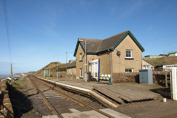 BOS36.jpg (taken 27.2.2008) 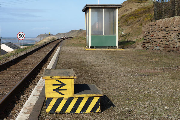 BOS37.jpg (taken 27.2.2008) |
||
|
|
||
| evidence:- | old map:- OS County Series (Cmd 77 3) placename:- Braystones Station item:- railway signal |
|
| source data:- | Maps, County Series maps of Great Britain, scales 6 and 25
inches to 1 mile, published by the Ordnance Survey, Southampton,
Hampshire, from about 1863 to 1948.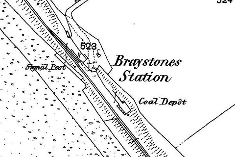 click to enlarge click to enlargeCSRY0102.jpg "Braystones Station / Coal Depot / Signal Post" |
|
|
|
||
| evidence:- | old map:- Garnett 1850s-60s H placename:- Braystones Station |
|
| source data:- | Map of the English Lakes, in Cumberland, Westmorland and
Lancashire, scale about 3.5 miles to 1 inch, published by John
Garnett, Windermere, Westmorland, 1850s-60s.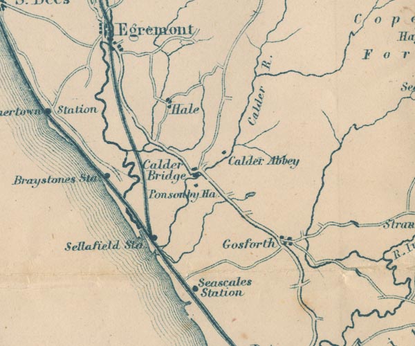 GAR2NY00.jpg "Braystones Sta" dot by railway item:- JandMN : 82.1 Image © see bottom of page |
|
|
|
||
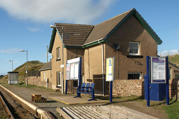 BVM18.jpg (taken 7.10.2011) 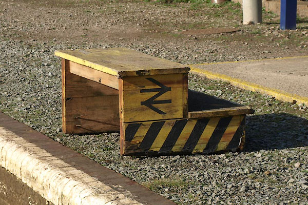 BVM21.jpg Steps. (taken 7.10.2011) 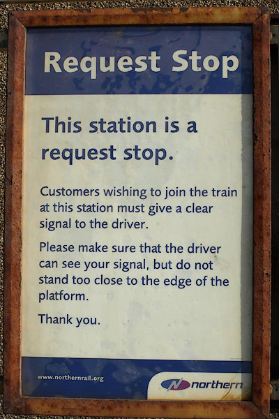 BOS40.jpg Halt stop notice. (taken 27.2.2008) 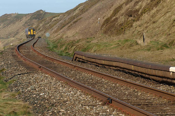 BOS42.jpg Train coming from the north, from Carlisle. (taken 27.2.2008) 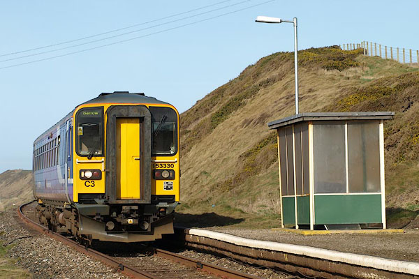 BOS43.jpg Train coming from Carlisle. (taken 27.2.2008) 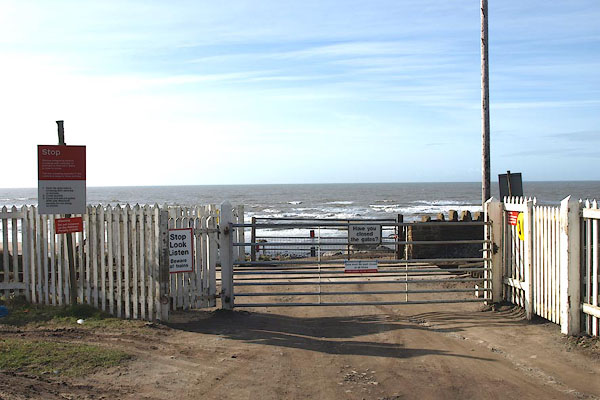 BOS44.jpg Level crossing. (taken 27.2.2008) |
||
|
|
||
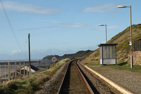
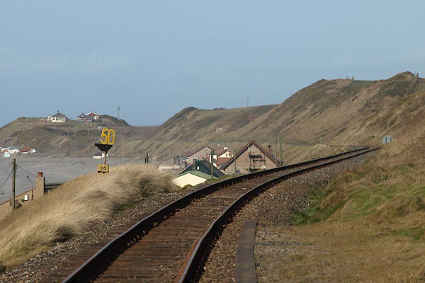 BOS39.jpg View N. (taken 27.2.2008) 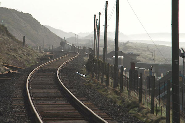 BOS41.jpg View S. (taken 27.2.2008) 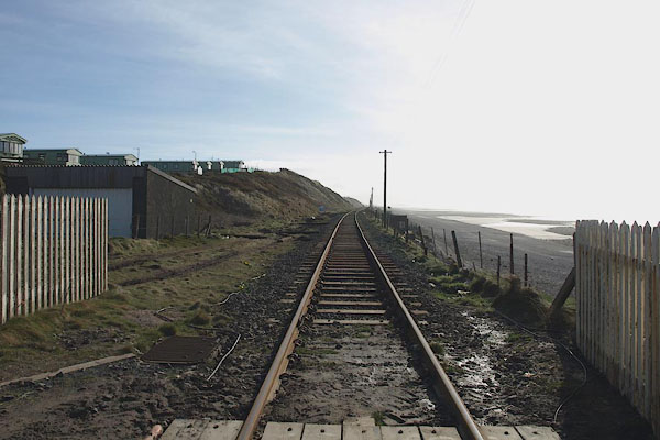 BOS38.jpg View S. (taken 27.2.2008) |
||
|
|
||
 BVM19.jpg View N. (taken 7.10.2011) 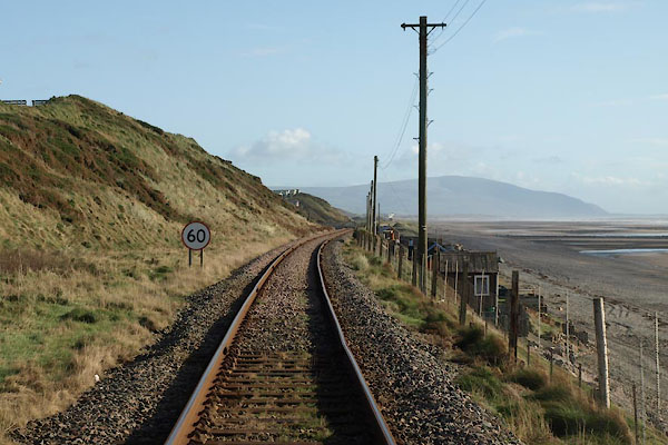 BVM20.jpg View S. (taken 7.10.2011) |
||
|
|
||
 Lakes Guides menu.