 |
 |
|
|
|
|
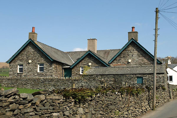
Beck Side |
| civil parish:- |
Kirkby Ireleth (formerly Lancashire) |
| county:- |
Cumbria |
| locality type:- |
locality |
| locality type:- |
buildings |
| coordinates:- |
SD23478227 (etc) |
| 1Km square:- |
SD2382 |
| 10Km square:- |
SD28 |
|
|
| evidence:- |
old map:- Ford 1839 map
placename:- Chapel Kirkby
|
| source data:- |
Map, uncoloured engraving, Map of the Lake District of
Cumberland, Westmoreland and Lancashire, scale about 3.5 miles
to 1 inch, published by Charles Thurnam, Carlisle, and by R
Groombridge, 5 Paternoster Row, London, 3rd edn 1843.
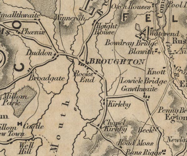
FD02SD28.jpg
"Chapel Kirkby"
item:- JandMN : 100.1
Image © see bottom of page
|
|
|
| places:- |
 |
SD37288052 Beckside Cottage (Lower Allithwaite) L |
|
|
 |
SD37398047 Beckside Farm (Lower Allithwaite) L |
|
|
 |
SD37428051 Beckside House Farm (Lower Allithwaite) L |
|
|
 |
SD37448048 Beckside House (Lower Allithwaite) |
|
|
|
SD37288052 bee boles, Lower Allithwaite (2) (Lower Allithwaite) L |
|
|
|
SD23548225 Kirkby Mill Bridge (Kirkby Ireleth) |
|
|
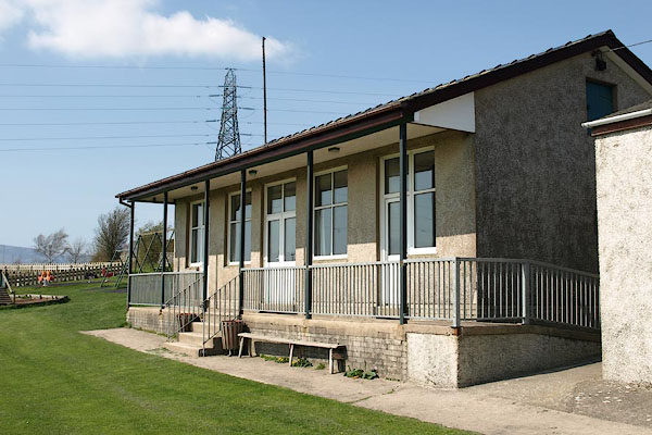 |
SD23298221 Kirkby-in-Furness Community Centre (Kirkby Ireleth) |
|
|
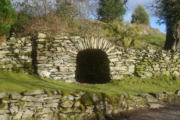 |
SD37418055 limekiln, Beck Side (Lower Allithwaite) |
|
|
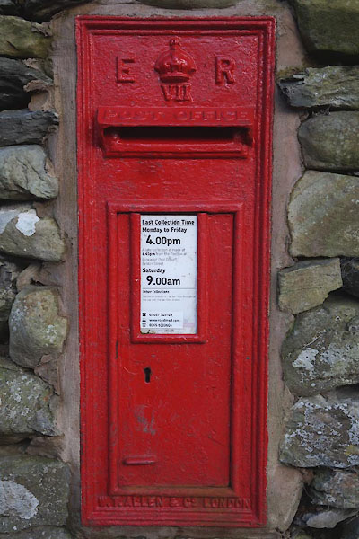 |
SD37428047 post box, Beck Side (Lower Allithwaite) |
|
|
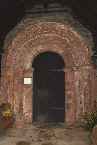 |
SD23388220 St Cuthbert's Church (Kirkby Ireleth) L |
|
|
 |
SD23498228 Beckside Rooms (Kirkby Ireleth) |
|
