


 Buckbarrow Crag, Longsleddale
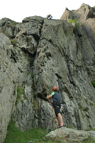
BYT65.jpg on Blunder, Low Crag
Blunder seems to be very close to, perhaps a rename of, Express Crack
(taken 9.7.2013) courtesy of Jo and Edward, climbers.
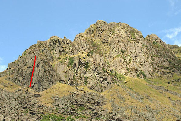
BZO13.jpg Express Crack, Low Crag (approximate route)
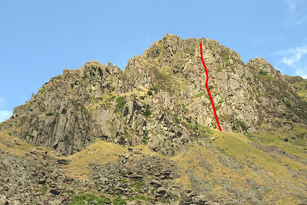
BZO19.jpg Dandle Face Direct, The Dandle (approximate route)
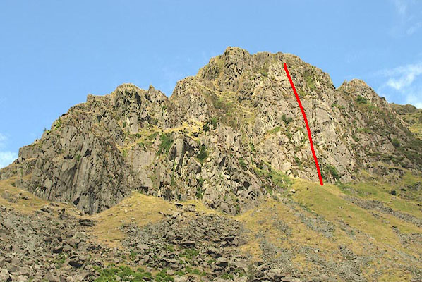
BZO20.jpg Dandle Slabs, The Dandle (approximate route)
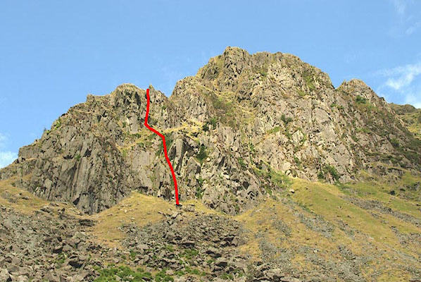
BZO15.jpg Domination, Low Crag (approximate route)
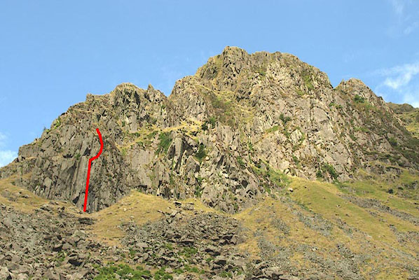
BZO14.jpg The Hog's Back, Low Crag (approximate route)
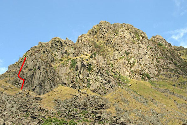
BZO12.jpg Linjeston's Climb, Low Crag (approximate route)
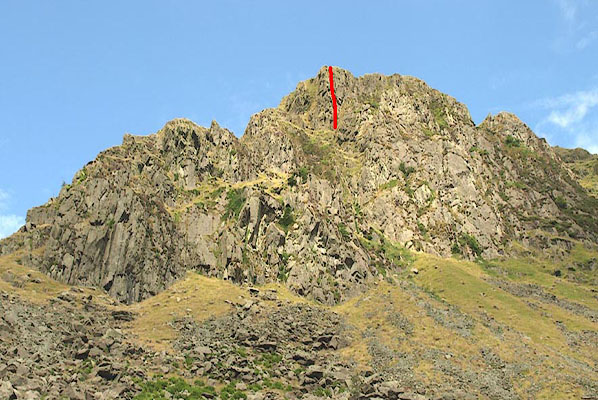
BZO16.jpg The Minotaur, High Crag (approximate route)
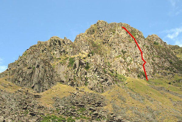
BZO21.jpg Sadgill Wall, The Dandle (approximate route)
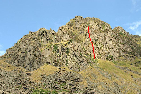
BZO18.jpg Sleepwalk, The Dandle (approximate route)
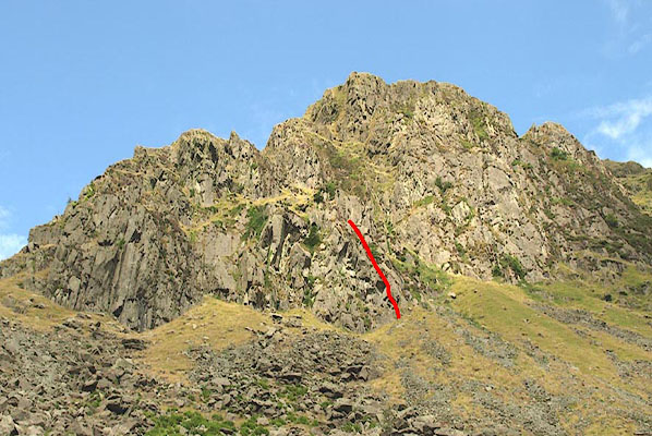
BZO17.jpg Waterfall Buttress, Low Crag (approximate route)
