 Old Cumbria Gazetteer
 |
 |
|
|
| Hadrian's Wall, milecastle 48 to 49 | |||
| Hadrian's Wall | |||
| site name:- | Hadrian's Wall | ||
| civil parish:- | Upper Denton (formerly Cumberland) | ||
| county:- | Cumbria | ||
| locality type:- | roman wall | ||
| coordinates:- | NY62716641 (etc) | ||
| 1Km square:- | NY6266 | ||
| 10Km square:- | NY61 | ||
|
|
|||
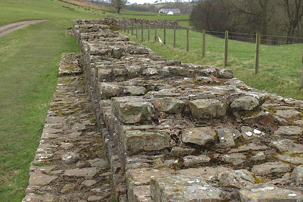 BOV59.jpg The Wall at Gilsland. (taken 21.3.2008) 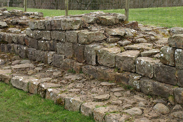 BOV60.jpg The Wall at Gilsland. (taken 21.3.2008) 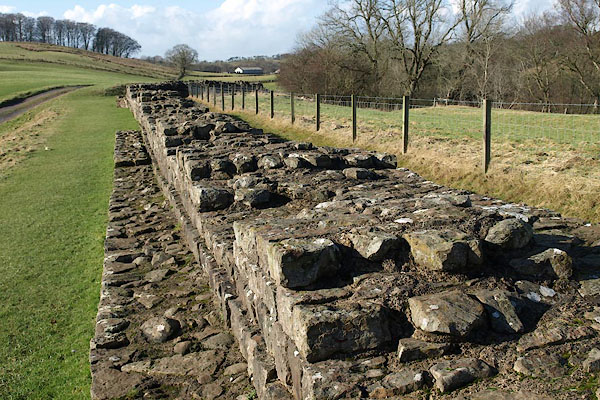 BUB37.jpg The Wall at Gilsland. (taken 16.2.2011) |
|||
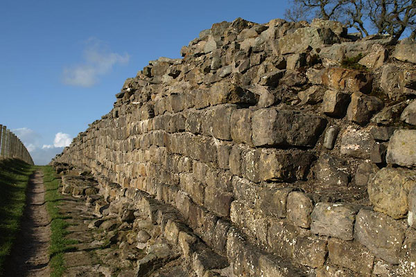 BUB42.jpg The Wall west of Gilsland. (taken 16.2.2011) 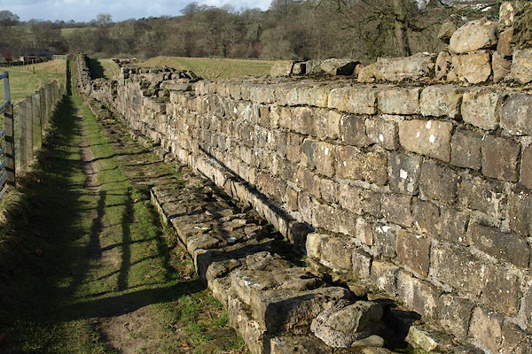 BUB43.jpg The Wall west of Gilsland. (taken 16.2.2011) 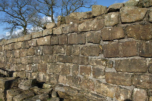 BUB44.jpg The Wall west of Gilsland. (taken 16.2.2011) |
|||
|
|
|||
| part of:- |  Hadrian's Wall Hadrian's Wall |
||
|
|
|||
| mapping:- | Milecastle 48, Upper Denton turret 48A, Upper Denton turret 48B, Upper Denton roman bridge, Willowford River Irthing |
||
|
|
|||
Lakes Guides menu.