 |
 |
|
|
|
|
Underhow |
| civil parish:- |
Mungrisdale (formerly Cumberland) |
| county:- |
Cumbria |
| locality type:- |
locality |
| locality type:- |
buildings |
| coordinates:- |
NY37302859 (etc) |
| 1Km square:- |
NY3728 |
| 10Km square:- |
NY32 |
|
|
| evidence:- |
old map:- OS County Series (Cmd 57 6)
placename:- Underhow
|
| source data:- |
Maps, County Series maps of Great Britain, scales 6 and 25
inches to 1 mile, published by the Ordnance Survey, Southampton,
Hampshire, from about 1863 to 1948.
|
|
|
| places:- |
 |
NY37812867 Far Howe (Mungrisdale) |
|
|
|
NY37162857 Farend (Mungrisdale) |
|
|
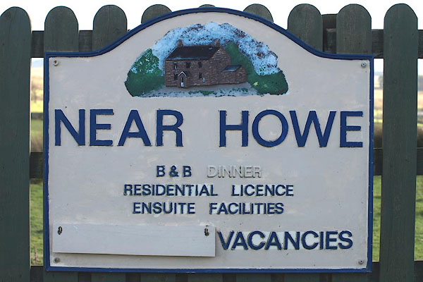 |
NY37392876 Near Howe (Mungrisdale) |
|
|
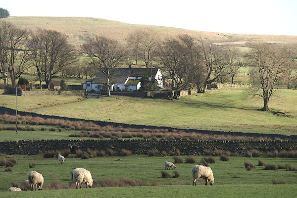 |
NY37222842 Underhowe (Mungrisdale) L |
|
