 |
 |
|
|
|
|
Lowgill |
| locality:- |
Dillicar |
| civil parish:- |
Grayrigg (formerly Westmorland) |
| county:- |
Cumbria |
| locality type:- |
locality |
| locality type:- |
buildings |
| coordinates:- |
SD61599666 (etc) |
| 1Km square:- |
SD6196 |
| 10Km square:- |
SD69 |
|
|
| evidence:- |
old map:- OS County Series (Wmd 34 12)
placename:- Lowgill
|
| source data:- |
Maps, County Series maps of Great Britain, scales 6 and 25
inches to 1 mile, published by the Ordnance Survey, Southampton,
Hampshire, from about 1863 to 1948.
|
|
|
| evidence:- |
hearth tax returns:- Hearth Tax 1675
placename:- Lowgill
|
| source data:- |
Records, hearth tax survey returns, Westmorland, 1674/75.
"Lowgill"
in "Langdale"
|
|
|
| places:- |
 |
SD61539654 Beck Foot (Grayrigg / Firbank) |
|
|
 |
SD61479652 Beckfoot Bridge (Grayrigg / Firbank) |
|
|
 |
SD62819702 Brunt Sike (Sedbergh) |
|
|
 |
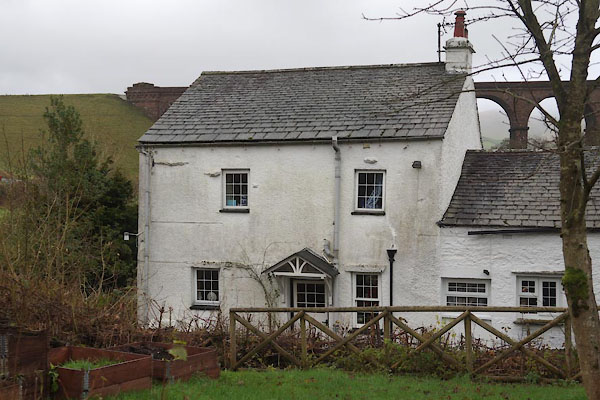
SD61519655 chapel, Beck Foot (Grayrigg) |
|
|
|
SD62209711 Dillicar School House (Grayrigg) |
|
|
|
SD61959713 Dryfold (Grayrigg) gone |
|
|
 |
SD61489649 Half Island House (Firbank) |
|
|
|
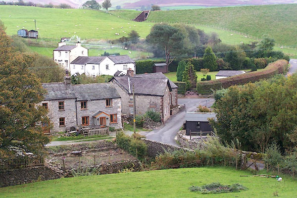
SD61639673 Lowgill Farm (Grayrigg) |
|
|
|
SD62269763 Lowgill Junction (Grayrigg) |
|
|
|
NY78311481 Lowgill Lane (Brough) |
|
|
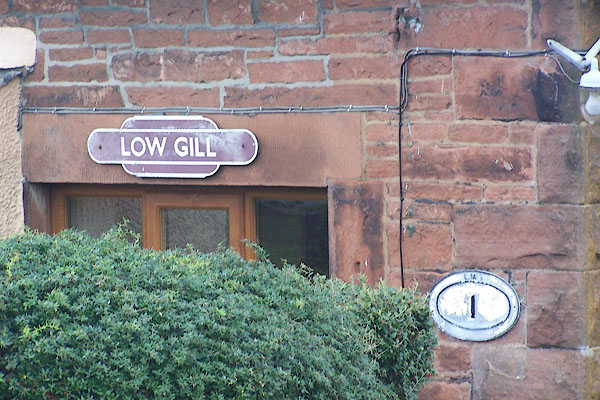 |
SD62249734 Lowgill Station (Grayrigg) |
|
|
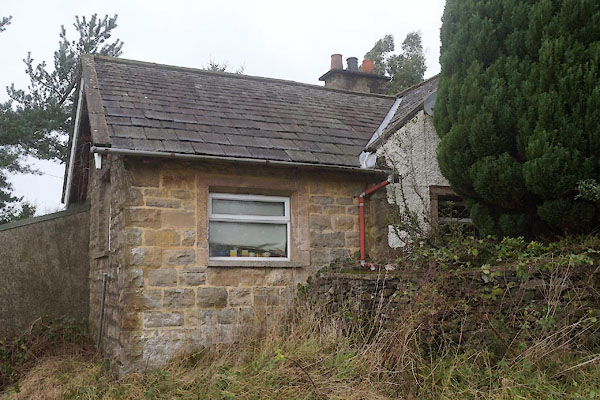 |
SD61669681 Lowgill Station (Grayrigg) |
|
|
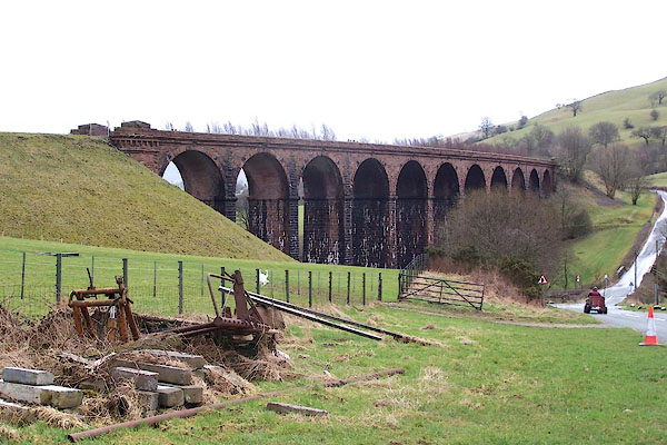 |
SD61679653 Lowgill Viaduct (Grayrigg / Firbank) L |
|
|
|
SD62739729 Mire Head (Sedbergh) |
|
|
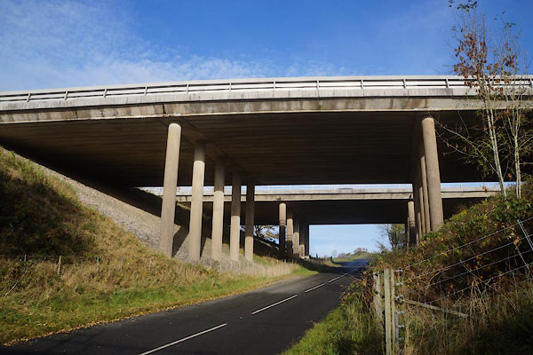 |
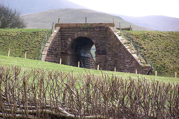
SD61569687 motorway bridge, Lowgill (Grayrigg) |
|
|
|
SD61959672 Nether House (Grayrigg) |
|
|
 |
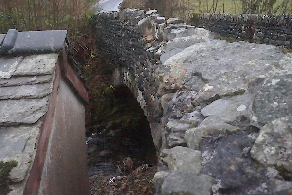
SD61569679 railway bridge, Lowgill (Grayrigg) |
|
|
 |
SD61729665 railway bridge, Lowgill (2) (Grayrigg) |
|
|
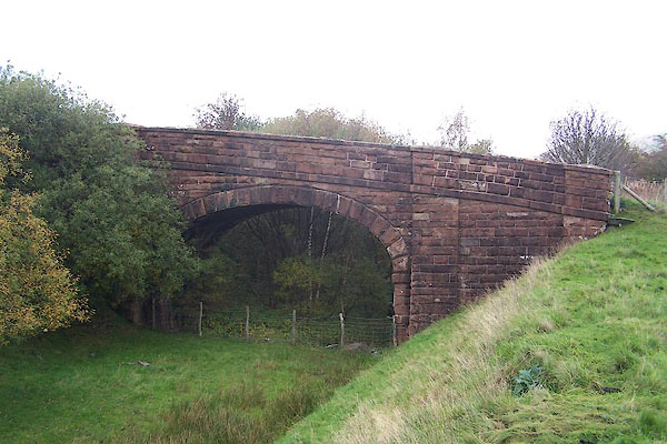 |
SD61799675 railway bridge, Lowgill (3) (Grayrigg) |
|
|
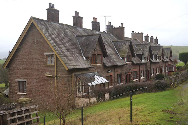 |
SD62189708 Railway Terrace (Grayrigg) |
|
|
|
SD62199705 Lowgill School (Grayrigg) gone |
|
|
|
SD62139716 Scufton House (Grayrigg) |
|
|
 |
SD61649645 Tarnclose Bridge (Firbank / Grayrigg) L |
|
