 |
 |
|
|
|
|
Cross End |
| locality:- |
Kirkby Thore |
| civil parish:- |
Kirkby Thore (formerly Westmorland) |
| county:- |
Cumbria |
| locality type:- |
locality |
| locality type:- |
buildings |
| coordinates:- |
NY63812583 (etc) |
| 1Km square:- |
NY6325 |
| 10Km square:- |
NY62 |
|
|
| evidence:- |
old map:- OS County Series (Wmd 9 1)
placename:- Cross End
|
| source data:- |
Maps, County Series maps of Great Britain, scales 6 and 25
inches to 1 mile, published by the Ordnance Survey, Southampton,
Hampshire, from about 1863 to 1948.
|
|
|
| places:- |
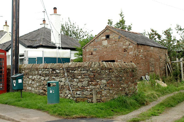 |
NY63862577 fire station, Kirkby Thore (Kirkby Thore) L |
|
|
|
NY63872575 pinfold, Kirkby Thore (Kirkby Thore) L |
|
|
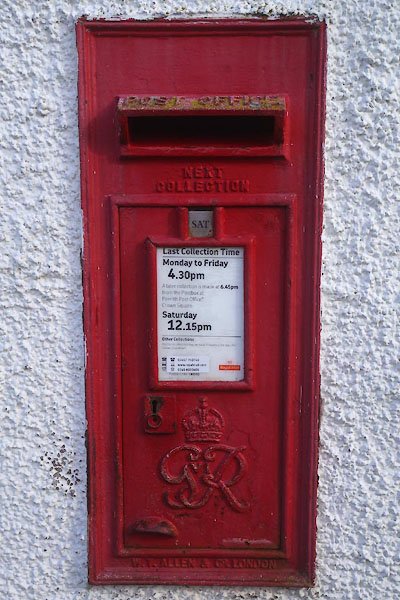 |
NY63872574 post box, Kirkby Thore (Kirkby Thore) |
|
|
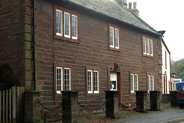 |
NY63962571 Stone Cottage (Kirkby Thore) L |
|

 Lakes Guides menu.