 |
 |
|
|
|
|
Churchtown |
| locality:- |
Rockcliffe |
| civil parish:- |
Rockcliffe (formerly Cumberland) |
| county:- |
Cumbria |
| locality type:- |
locality |
| locality type:- |
buildings |
| coordinates:- |
NY35946157 (about) |
| 1Km square:- |
NY3561 |
| 10Km square:- |
NY36 |
|
|
| evidence:- |
old map:- OS County Series (Cmd 16 6)
placename:- Churchtown
|
| source data:- |
Maps, County Series maps of Great Britain, scales 6 and 25
inches to 1 mile, published by the Ordnance Survey, Southampton,
Hampshire, from about 1863 to 1948.
|
|
|
| places:- |
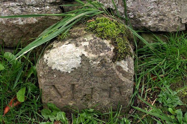 |
NY36424187 boundary stone, Sebergham (Sebergham) |
|
|
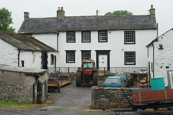 |
NY36474169 Churchtown Farm (Sebergham) L |
|
|
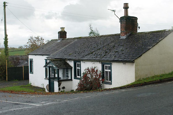 |
NY36274146 house, Sebergham (2) (Sebergham) |
|
|
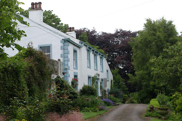 |
NY36494178 Old Rectory (Sebergham) |
|
|
 |
NY36484184 School Well (Sebergham) |
|
|
 |
NY36444188 Sebergham School (Sebergham) |
|
|
 |
NY36404185 St Mary's Church (Sebergham) L |
|
|
 |
NY36234147 village hall, Sebergham (Sebergham) |
|
