 |
 |
|
|
|
|
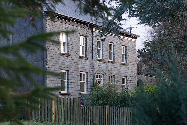
Bridge End |
| locality:- |
Garrigill |
| civil parish:- |
Alston Moor (formerly Cumberland) |
| county:- |
Cumbria |
| locality type:- |
locality |
| locality type:- |
buildings |
| coordinates:- |
NY74594164 (etc) |
| 1Km square:- |
NY7441 |
| 10Km square:- |
NY74 |
|
|
| evidence:- |
old map:- OS County Series (Cmd 42 6)
placename:- Bridgend
|
| source data:- |
Maps, County Series maps of Great Britain, scales 6 and 25
inches to 1 mile, published by the Ordnance Survey, Southampton,
Hampshire, from about 1863 to 1948.
|
|
|
| places:- |
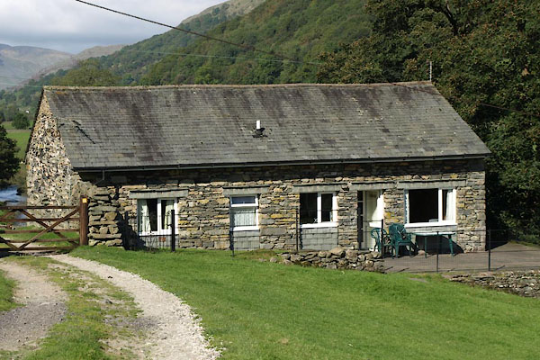 |
NY51080095 Barn, The (Longsleddale) |
|
|
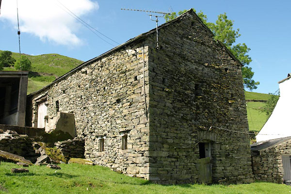 |
NY51030095 barn, Longsleddale (10) (Longsleddale) L |
|
|
 |
NY31431940 Bridge End Farm (St John's Castlerigg and Wythburn) |
|
|
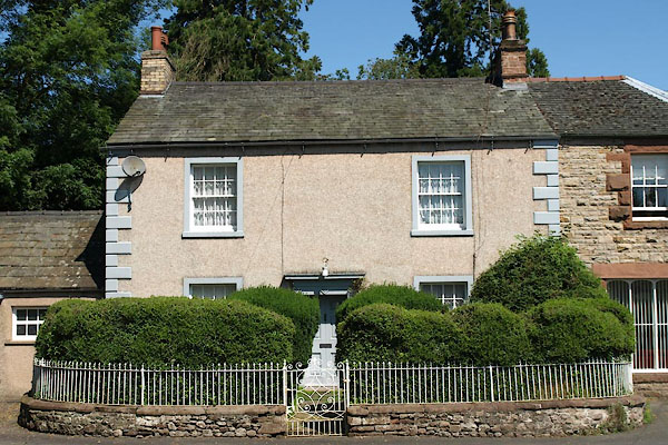 |
NY74811552 Bridge End House (Warcop) L |
|
|
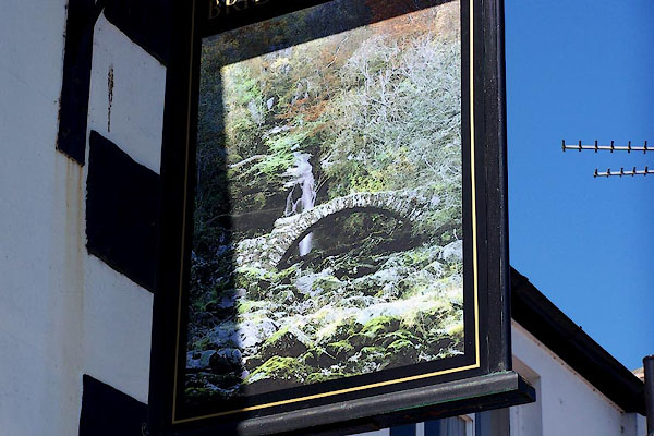 |
NY37044873 Bridge End Inn (Dalston) L |
|
|
 |
SD56448850 Bridge House (Old Hutton and Holmescales) L |
|
|
|
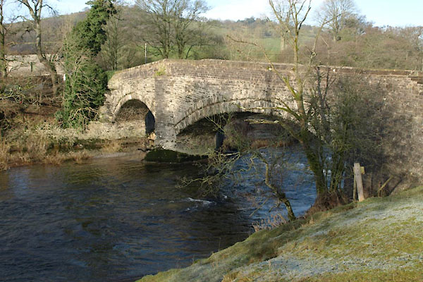
NY675619 bridge, Bridge End () |
|
|
|
NY37084865 Caldew Bank (Dalston) L |
|
|
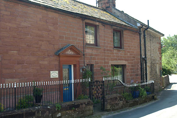 |
NY74841553 Clifton Cottage (Warcop) |
|
|
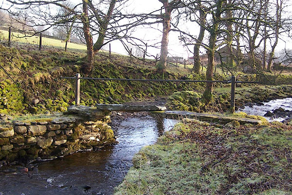 |
NY57500510 footbridge, Bretherdale (2) (Orton S) |
|
|
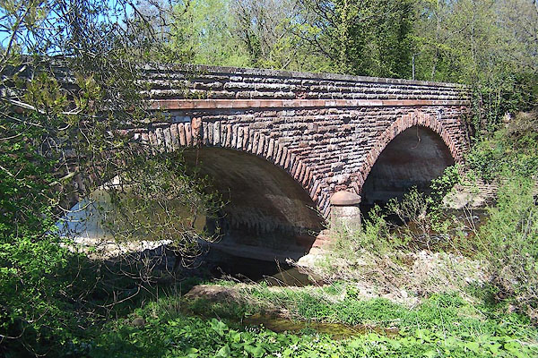 |
NY37074880 Hawksdale Bridge (Dalston) |
|
|
|
SD56458843 Hutton Bridge (Old Hutton and Holmescales) |
|
|
|
SD56618843 Hutton Manor (Old Hutton and Holmescales) |
|
|
 |
SD63179227 Lincolns Inn Bridge (Firbank / Sedbergh) L |
|
|
 |
SD56408848 Low Meadow (Old Hutton and Holmescales) |
|
|
|
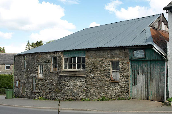
SD56578843 Hutton Bridge Mill (Old Hutton and Holmescales) |
|
|
 |
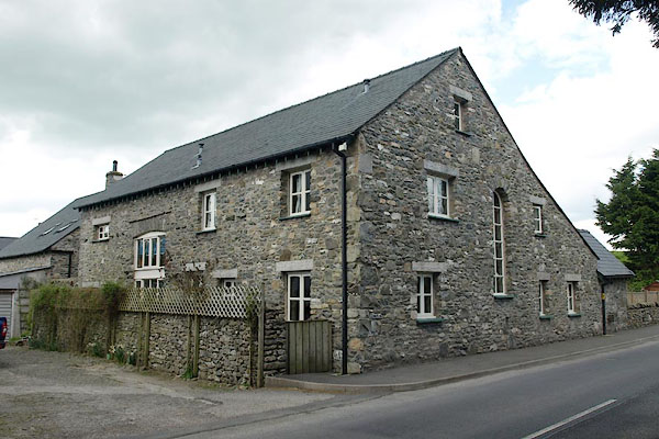
SD56508838 A Nelson and Son, builders (Old Hutton and Holmescales) |
|
|
|
NY37064858 Peat's Cottage (Dalston) gone |
|
|
|
NY31201923 Embankment Cottages (St John's Castlerigg and Wythburn) |
|
