 |
 |
|
|
|
| runs into:- |
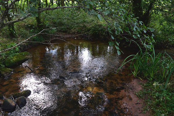
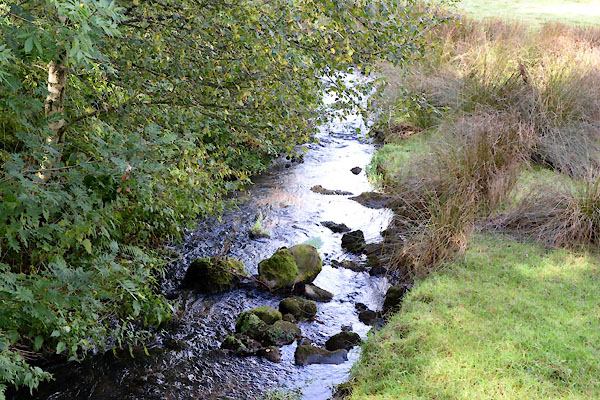
 Milburn Beck Milburn Beck |
|
|
|
|
| civil parish:- |
Milburn (formerly Westmorland) |
| civil parish:- |
Newbiggin (formerly Westmorland) |
| county:- |
Cumbria |
| locality type:- |
river |
| locality type:- |
boundary |
| locality type:- |
parish boundary |
| 1Km square:- |
NY6529 (etc) |
| 10Km square:- |
NY62 |
|
|
|
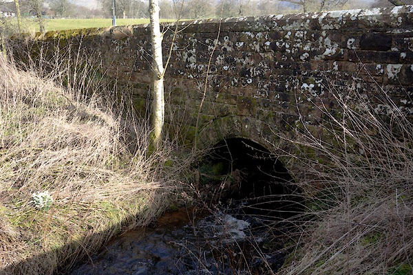
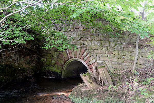
CGO97.jpg At a Bridge,
(taken 19.9.2017)
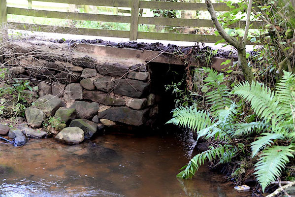
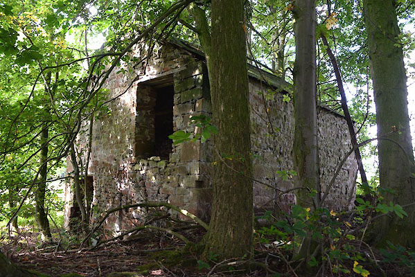
CGO99.jpg At Gillfoot bridge,
(taken 19.9.2017)
|
|
|
| evidence:- |
old map:- OS County Series (Wmd 5 10)
placename:- Stank Beck
|
| source data:- |
Maps, County Series maps of Great Britain, scales 6 and 25
inches to 1 mile, published by the Ordnance Survey, Southampton,
Hampshire, from about 1863 to 1948.
|
|
|
| places:- |
 |
NY65452900 bridge, Milburn (Milburn) |
|
|
 |
NY64852913 bridge, Milburn (2) (Milburn) |
|
|
 |
NY602911 Gillfoot Bridge (Milburn) |
|
|
|
NY64962915 Kirkhouse Gill (Milburn) |
|
|
 |
NY64592895 Milburn Mill (Milburn) |
|
|
|
NY17525050 Stank Bridge (Holme Abbey) |
|
