 Old Cumbria Gazetteer
 |
 |
|
| Milburn Mill, Milburn | ||
| Milburn Mill | ||
| site name:- | Stank Beck | |
| Street:- | Mill Lane | |
| locality:- | Milburn | |
| civil parish:- | Milburn (formerly Westmorland) | |
| county:- | Cumbria | |
| locality type:- | water mill | |
| locality type:- | mill | |
| coordinates:- | NY64592895 | |
| 1Km square:- | NY6428 | |
| 10Km square:- | NY62 | |
|
|
||
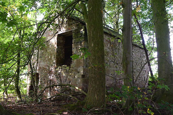 CGP01.jpg (taken 19.9.2017) 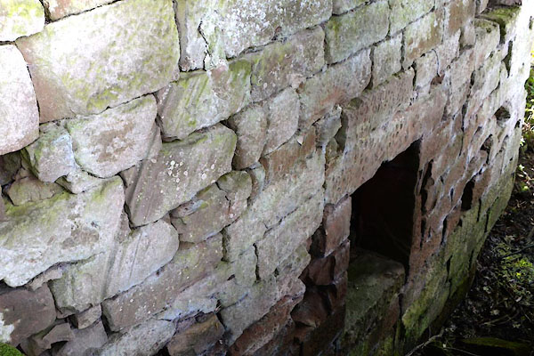 CGP03.jpg Signs of the mill wheel, NW wall (taken 19.9.2017) |
||
|
|
||
| evidence:- | old map:- OS County Series (Wmd 5 9) placename:- Milburn Mill |
|
| source data:- | Maps, County Series maps of Great Britain, scales 6 and 25
inches to 1 mile, published by the Ordnance Survey, Southampton,
Hampshire, from about 1863 to 1948. "Millburn Mill (Corn) / Mill Race / Weirs" |
|
|
|
||
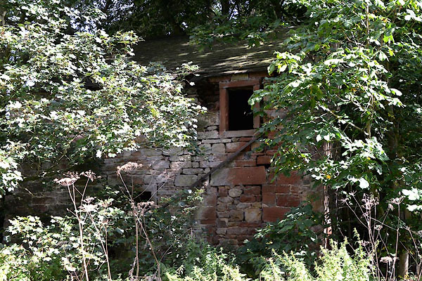 CGP02.jpg (taken 19.9.2017) |
||
|
|
||
 Lakes Guides menu.