 Old Cumbria Gazetteer
 |
 |
|
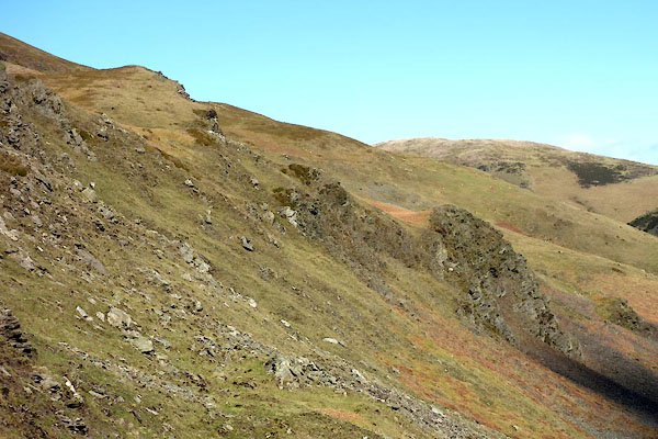
| Rabbit Crags, Whicham | ||
| Rabbit Crags | ||
| locality:- | Pen End | |
| civil parish:- | Whicham (formerly Cumberland) | |
| county:- | Cumbria | |
| locality type:- | rocks | |
| coordinates:- | SD14278439 (etc) | |
| 1Km square:- | SD1484 | |
| 10Km square:- | SD18 | |
|
|
||
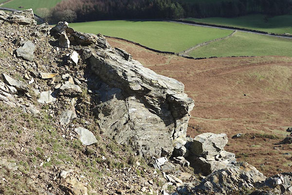
 CEP68.jpg (taken 23.2.2016) |
||
|
|
||
| evidence:- | old map:- OS County Series (Cmd 88 5) placename:- Rabbit Crags |
|
| source data:- | Maps, County Series maps of Great Britain, scales 6 and 25
inches to 1 mile, published by the Ordnance Survey, Southampton,
Hampshire, from about 1863 to 1948. |
|
|
|
||
 CEP69.jpg S end. (taken 23.2.2016) 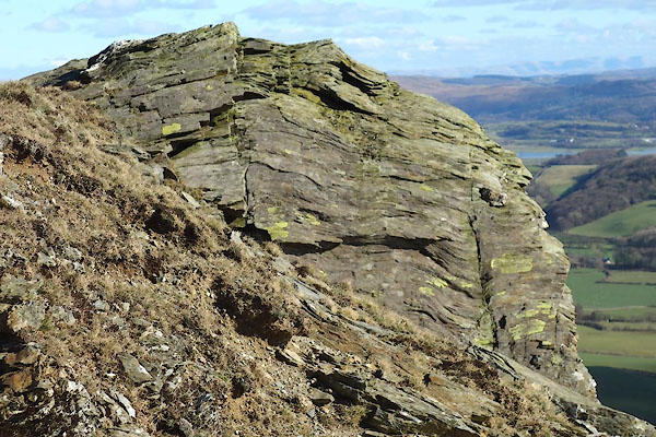 CEP70.jpg S end. (taken 23.2.2016) |
||
|
|
||
 Lakes Guides menu.