 Old Cumbria Gazetteer
 |
 |
|
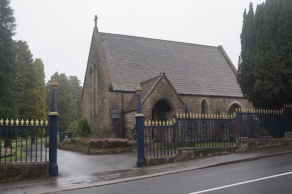
| Parkside Cemetery, Kendal | ||
| Parkside Cemetery | ||
| Street:- | Park Side Road | |
| locality:- | Kendal | |
| civil parish:- | Kendal (formerly Westmorland) | |
| county:- | Cumbria | |
| locality type:- | cemetery | |
| coordinates:- | SD52029198 (etc) | |
| 1Km square:- | SD5291 | |
| 10Km square:- | SD59 | |
|
|
||
 CFV41.jpg (taken 20.2.2017) 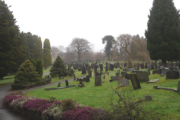 CFV42.jpg (taken 20.2.2017) |
||
|
|
||
| evidence:- | old map:- OS County Series (Wmd 38 8) |
|
| source data:- | Maps, County Series maps of Great Britain, scales 6 and 25
inches to 1 mile, published by the Ordnance Survey, Southampton,
Hampshire, from about 1863 to 1948. "Cemetery / Chapel / Chapel (Dissenters) / Lodge / Lodge" |
|
|
|
||
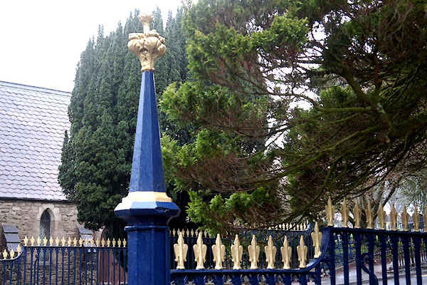 CFV45.jpg Railings. (taken 20.2.2017) |
||
|
|
||
 Lakes Guides menu.