 Old Cumbria Gazetteer
 |
 |
|
| Marshall Dock, Port of Silloth | ||
| Marshall Dock | ||
| site name:- | Port of Silloth | |
| locality:- | Silloth | |
| civil parish:- | Silloth-on-Solway (formerly Cumberland) | |
| county:- | Cumbria | |
| locality type:- | dock | |
| coordinates:- | NY10515353 (etc) | |
| 1Km square:- | NY1053 | |
| 10Km square:- | NY15 | |
|
|
||
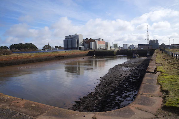 CFX26.jpg (taken 7.3.2017) 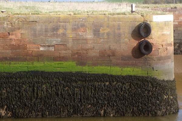 CFX25.jpg (taken 7.3.2017) |
||
|
|
||
| evidence:- | old map:- OS County Series (Cmd 20 11) placename:- Marshall Dock item:- goods shed; crane; leading light |
|
| source data:- | Maps, County Series maps of Great Britain, scales 6 and 25
inches to 1 mile, published by the Ordnance Survey, Southampton,
Hampshire, from about 1863 to 1948.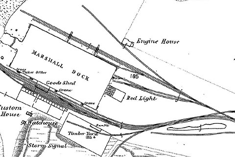 click to enlarge click to enlargeCSRY0024.jpg "MARSHALL DOCK / Crane / Ticket Office / Goods Shed / Crane / ... / Red Light / Custom House / Strom Signal / Watch House / Jetty / ..." |
|
|
|
||
| evidence:- | old text:- Admiralty 1933 placename:- Marshall Dock |
|
| source data:- |  goto source goto sourcePage 399:- "... The harbour [Silloth] (Lat. 54~ 52' N., Long. 3~ 24' W.) consists of a tidal basin, which was, originally, Marshall dock, ..." |
|
|
|
||
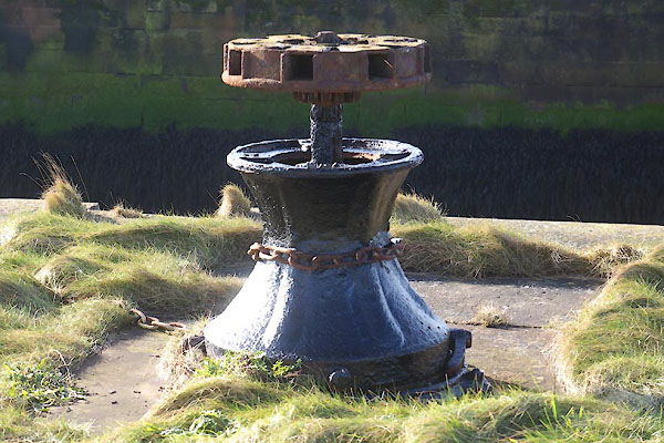 CFX21.jpg Capstan on the outer gates. (taken 7.3.2017) 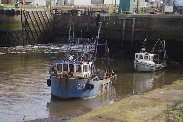 CFX28.jpg (taken 7.3.2017) 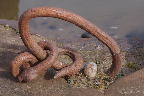 CFX29.jpg (taken 7.3.2017) 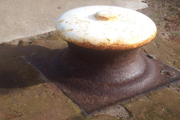 CFX34.jpg (taken 7.3.2017) 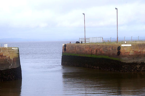 CFX35.jpg (taken 7.3.2017) |
||
|
|
||
Lakes Guides menu.