 Old Cumbria Gazetteer
 |
 |
|
| Hause Gap, Patterdale | ||
| Hause Gap | ||
| locality:- | Grisedale Hause | |
| civil parish:- | Patterdale (formerly Westmorland) | |
| civil parish:- | Lakes (formerly Westmorland) | |
| county:- | Cumbria | |
| locality type:- | pass | |
| coordinates:- | NY34911168 (etc) | |
| 1Km square:- | NY3411 | |
| 10Km square:- | NY31 | |
|
|
||
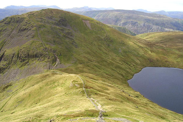 BOE43.jpg From the east. (taken 11.9.2007) |
||
|
|
||
| evidence:- | old map:- OS County Series (Wmd 19 5) placename:- Horse Gap |
|
| source data:- | Maps, County Series maps of Great Britain, scales 6 and 25
inches to 1 mile, published by the Ordnance Survey, Southampton,
Hampshire, from about 1863 to 1948. "Grisedale Hass / Horse Gap" |
|
|
|
||
 Lakes Guides menu.