 Old Cumbria Gazetteer
 |
 |
|
| Grayrigg House, Grayrigg | ||
| Grayrigg House | ||
| Vicarage | ||
| locality:- | Grayrigg | |
| civil parish:- | Grayrigg (formerly Westmorland) | |
| county:- | Cumbria | |
| locality type:- | buildings | |
| coordinates:- | SD57799711 | |
| 1Km square:- | SD5797 | |
| 10Km square:- | SD59 | |
|
|
||
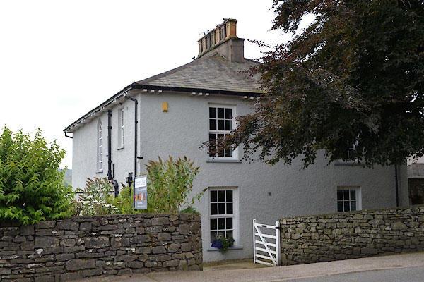 CGI76.jpg (taken 10.8.2017) 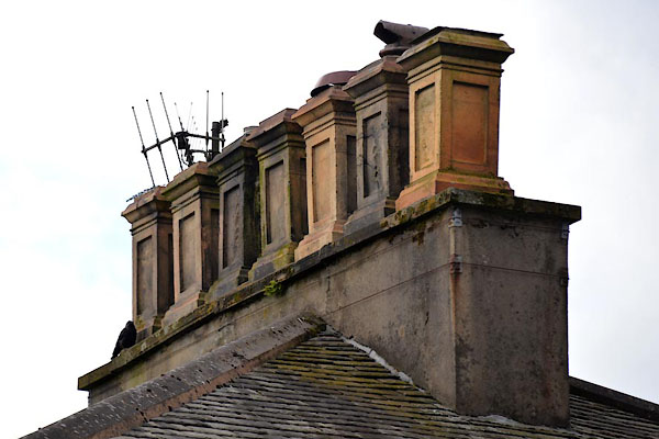 CGI77.jpg Chimney tops. (taken 10.8.2017) |
||
|
|
||
| evidence:- | old map:- OS County Series (Wmd 34 11) placename:- Parsonage, The |
|
| source data:- | Maps, County Series maps of Great Britain, scales 6 and 25
inches to 1 mile, published by the Ordnance Survey, Southampton,
Hampshire, from about 1863 to 1948. |
|
|
|
||
 Lakes Guides menu.