button to main menu  Old Cumbria Gazetteer
Grayrigg
civil parish:-   Grayrigg (formerly Westmorland)
county:-   Cumbria
locality type:-   locality
locality type:-   buildings
coordinates:-   SD57879716 (etc) 
1Km square:-   SD5797
10Km square:-   SD59


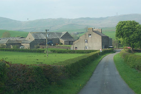
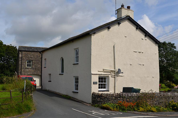
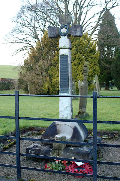
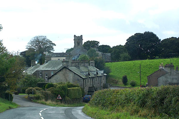
photograph
BJW70.jpg (taken 29.9.2005)  
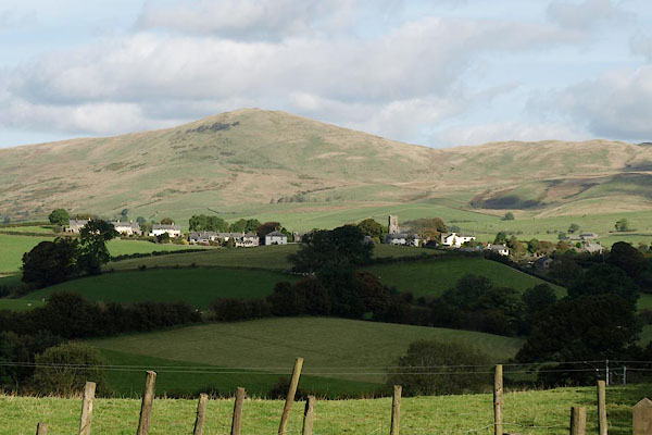
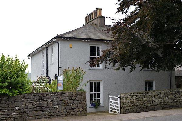
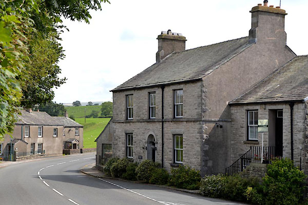
photograph
BRR25.jpg (taken 1.10.2009)  

evidence:-   old map:- OS County Series (Wmd 34 11) 
placename:-  Grayrigg
source data:-   Maps, County Series maps of Great Britain, scales 6 and 25 inches to 1 mile, published by the Ordnance Survey, Southampton, Hampshire, from about 1863 to 1948.

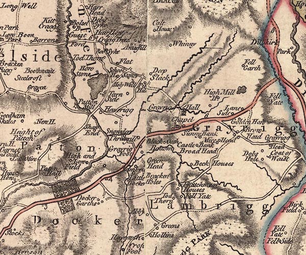
evidence:-   old map:- Jefferys 1770 (Wmd) 
placename:-  Grayrigg
source data:-   Map, 4 sheets, The County of Westmoreland, scale 1 inch to 1 mile, surveyed 1768, and engraved and published by Thomas Jefferys, London, 1770.
image
J5SD59NE.jpg
"Grayrigg"
area 
item:-  National Library of Scotland : EME.s.47
Image © National Library of Scotland

evidence:-   road book:- Cary 1798 (2nd edn 1802) 
placename:-  Grayrigg
source data:-   Road book, itineraries, Cary's New Itinerary, by John Cary, 181 Strand, London, 2nd edn 1802.
image CY38p315, button  goto source
image  click to enlarge
C38315.jpg
page 315-316  "Grayrigg"
item:-  JandMN : 228.1
Image © see bottom of page

evidence:-   old map:- Laurie and Whittle 1806
placename:-  Grayrigg
source data:-   Road map, Continuation of the Roads to Glasgow and Edinburgh, scale about 10 miles to 1 inch, by Nathaniel Coltman? 1806, published by Robert H Laurie, 53 Fleet Street, London, 1834.
image  click to enlarge
Lw21.jpg
"Grayrigg 268ΒΌ"
village or other place; distance from London 
item:-  private collection : 18.21
Image © see bottom of page

evidence:-   old map:- Cooper 1808
placename:-  Grayrigg
source data:-   Map, hand coloured engraving, Westmoreland ie Westmorland, scale about 9 miles to 1 inch, by H Cooper, 1808, published by R Phillips, Bridge Street, Blackfriars, London, 1808.
image  click to enlarge
COP4.jpg
"Grayrigg"
circle; village or hamlet 
item:-  Dove Cottage : 2007.38.53
Image © see bottom of page

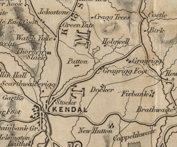
evidence:-   old map:- Ford 1839 map
placename:-  Grayrigg
source data:-   Map, uncoloured engraving, Map of the Lake District of Cumberland, Westmoreland and Lancashire, scale about 3.5 miles to 1 inch, published by Charles Thurnam, Carlisle, and by R Groombridge, 5 Paternoster Row, London, 3rd edn 1843.
image
FD02SD59.jpg
"Grayrigg"
item:-  JandMN : 100.1
Image © see bottom of page

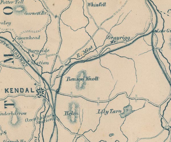
evidence:-   old map:- Garnett 1850s-60s H
placename:-  Grayrigg
source data:-   Map of the English Lakes, in Cumberland, Westmorland and Lancashire, scale about 3.5 miles to 1 inch, published by John Garnett, Windermere, Westmorland, 1850s-60s.
image
GAR2SD59.jpg
"Grayrigg"
blocks, settlement 
item:-  JandMN : 82.1
Image © see bottom of page

places:-  
SD57669722 Bowland's Hill (Grayrigg)
SD58019720 Chapel Houses (Grayrigg)
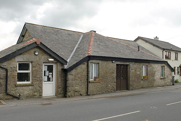
SD57839714 Coronation Hall (Grayrigg)
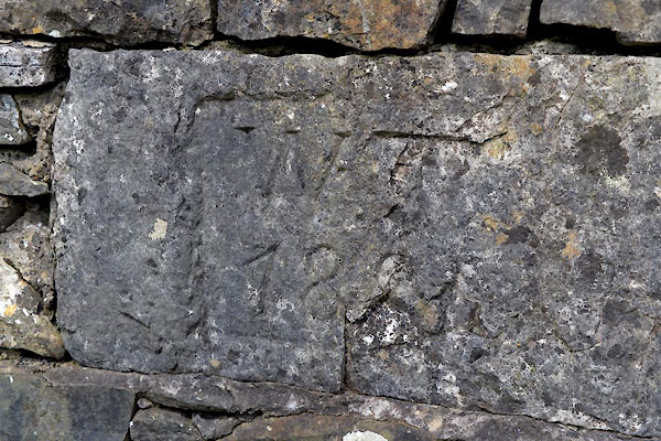
SD57969720 date stone, Grayrigg (Grayrigg)
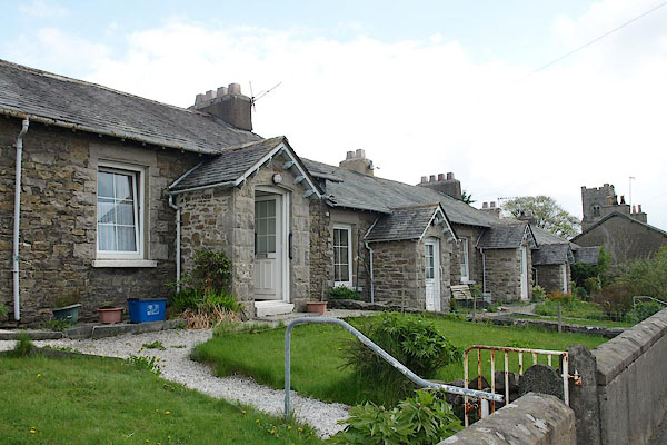
SD57769715 Grayrigg Almshouses (Grayrigg)
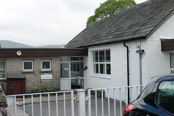
SD57829716 Grayrigg CofE Primary School (Grayrigg)
SD57959753 Grayrigg Hall (Grayrigg) L
SD57799711 Grayrigg House (Grayrigg)
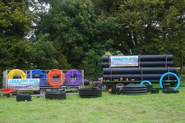
SD5797 Lakeland Pipes (Grayrigg)
SD57869714 Old Police House, The (Grayrigg)
SD57899717 Old Vicarage, The (Grayrigg)
SD57969719 Punchbowl House (Grayrigg)
SD57889719 Rose Bower (Grayrigg)
SD57869718 St John's Church (Grayrigg) L
SD57849718 war memorial, Grayrigg (Grayrigg)
button to lakes menu  Lakes Guides menu.