 Old Cumbria Gazetteer
 |
 |
|
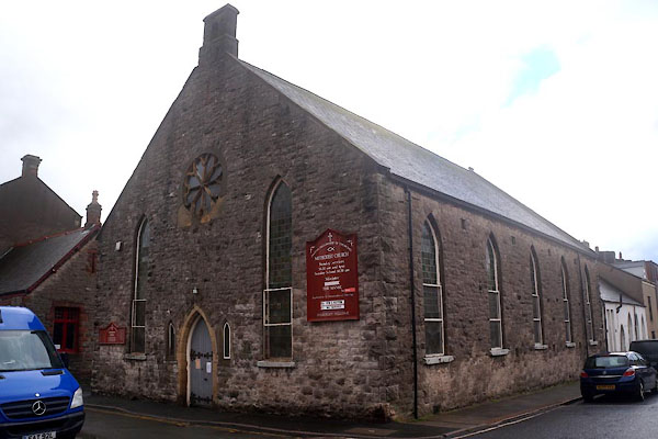
| chapel, Dalton-in-Furness (3) | ||
| Street:- | Chapel Street | |
| locality:- | Dalton-in-Furness | |
| civil parish:- | Dalton Town with Newton (formerly Lancashire) | |
| county:- | Cumbria | |
| locality type:- | chapel | |
| locality type:- | methodist chapel | |
| coordinates:- | SD22847415 | |
| 1Km square:- | SD2274 | |
| 10Km square:- | SD27 | |
|
|
||
| evidence:- | old map:- OS County Series |
|
| source data:- | Maps, County Series maps of Great Britain, scales 6 and 25
inches to 1 mile, published by the Ordnance Survey, Southampton,
Hampshire, from about 1863 to 1948. "Meth. Chap. (Wesleyan)" |
|
|
|
||
 CEJ24.jpg (taken 20.11.2015) |
||
|
|
||
 Lakes Guides menu.