 Old Cumbria Gazetteer
 |
 |
|
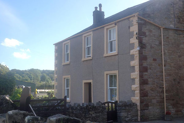
| Castle Mill, Distington | ||
| Castle Mill | ||
| site name:- | Distington Beck | |
| locality:- | Hayes Castle | |
| locality:- | Distington | |
| civil parish:- | Distington (formerly Cumberland) | |
| county:- | Cumbria | |
| locality type:- | buildings | |
| locality type:- | mill (ex) | |
| locality type:- | water mill | |
| locality type:- | corn mill | |
| coordinates:- | NY00142252 | |
| 1Km square:- | NY0022 | |
| 10Km square:- | NY02 | |
| SummaryText:- | from various maps it is not clear what is castle Mill and what is Hayecastle Farm | |
|
|
||
 CFL60.jpg (taken 2.9.2016) |
||
|
|
||
| evidence:- | old map:- OS County Series (Cmd 61 7) placename:- Castle Mill |
|
| source data:- | Maps, County Series maps of Great Britain, scales 6 and 25
inches to 1 mile, published by the Ordnance Survey, Southampton,
Hampshire, from about 1863 to 1948. "Castle Mill (Corn) / Weir / Sluice / Mill Race / Sluice" |
|
|
|
||
 Lakes Guides menu.