 Old Cumbria Gazetteer
 |
 |
|
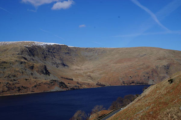
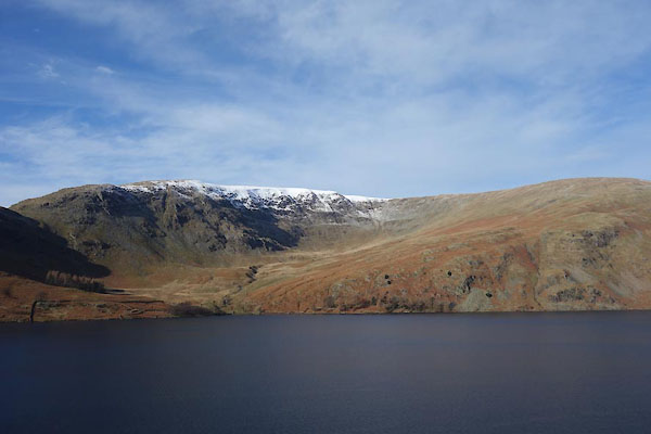
| Whelter Bottom, Mardale | ||
| Whelter Bottom | ||
| locality:- | Mardale | |
| civil parish:- | Bampton (formerly Westmorland) | |
| county:- | Cumbria | |
| locality type:- | valley | |
| locality type:- | cirque | |
| coordinates:- | NY46521384 (etc) | |
| 1Km square:- | NY4613 | |
| 10Km square:- | NY41 | |
|
|
||
 CAD74.jpg (taken 24.3.2014) 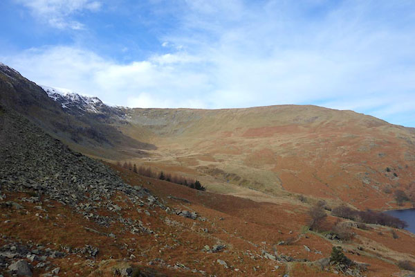 BZW46.jpg (taken 10.2.2014) |
||
|
|
||
| evidence:- | old map:- OS County Series (Wmd 20 2) placename:- Whelter Bottom |
|
| source data:- | Maps, County Series maps of Great Britain, scales 6 and 25
inches to 1 mile, published by the Ordnance Survey, Southampton,
Hampshire, from about 1863 to 1948. |
|
|
|
||
 BZW38.jpg (taken 10.2.2014) 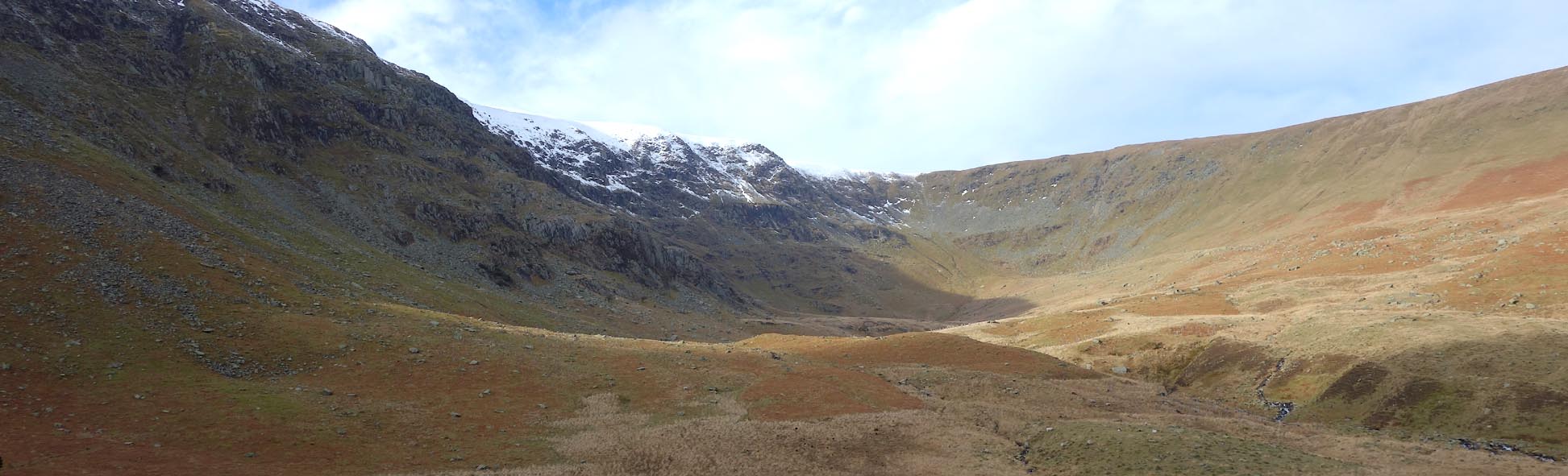 Click to enlarge BZW47.jpg (taken 10.2.2014)  Click to enlarge BZW51.jpg Deer. (taken 10.2.2014) 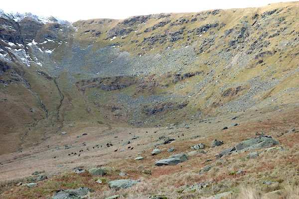 BZW52.jpg (taken 10.2.2014) 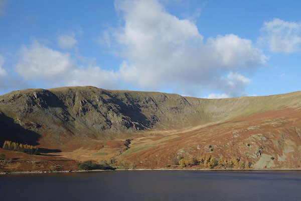 BZQ98.jpg (taken 12.11.2013) |
||
|
|
||
 Lakes Guides menu.