 Old Cumbria Gazetteer
 |
 |
|
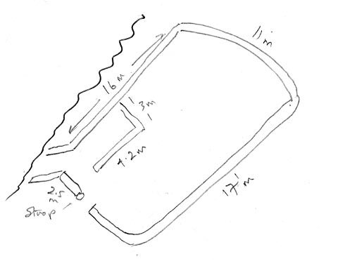
| sheepfold, Mungrisdale (5) | ||
| locality:- | Bullfell Beck | |
| civil parish:- | Mungrisdale (formerly Cumberland) | |
| county:- | Cumbria | |
| locality type:- | sheepfold | |
| coordinates:- | NY34363057 | |
| 1Km square:- | NY3430 | |
| 10Km square:- | NY33 | |
|
|
||
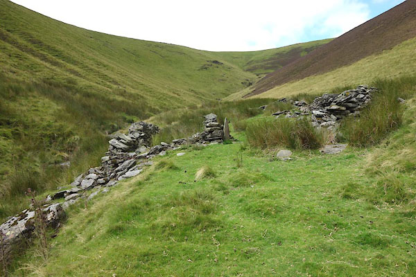 CDR31.jpg (taken 12.8.2015) 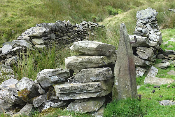 CDR32.jpg (taken 12.8.2015) |
||
|
|
||
| evidence:- | old map:- OS County Series (Cmd 57 1) |
|
| source data:- | Maps, County Series maps of Great Britain, scales 6 and 25
inches to 1 mile, published by the Ordnance Survey, Southampton,
Hampshire, from about 1863 to 1948. "Sheepfold" |
|
|
|
||
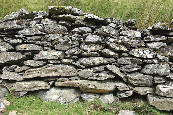 CDR33.jpg Walling. (taken 12.8.2015) 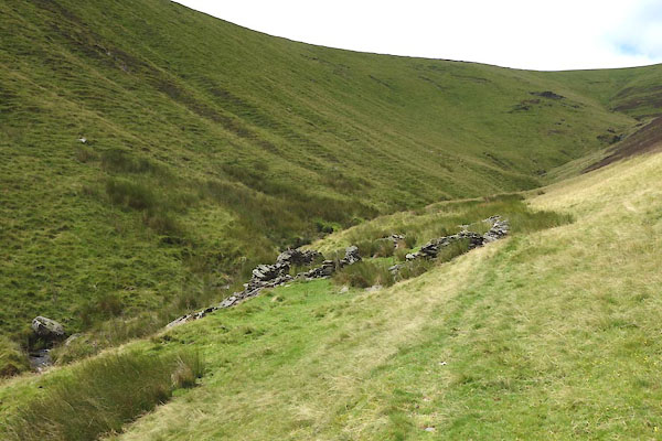 CDR30.jpg (taken 12.8.2015) |
||
|
|
||
| notes:- |
Courtesy of Colin Smith, 2008 |
|
| Mungrisdale 00054 |
||
 PH0136.jpg |
||
|
|
||
 Lakes Guides menu.