 |
 |
|
|
|
| runs into:- |
 Haweswater Beck Haweswater Beck |
|
|
|
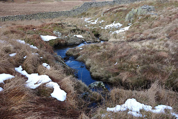
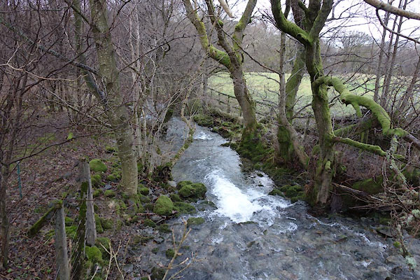
Naddle Beck |
| civil parish:- |
Shap Rural (formerly Westmorland) |
| county:- |
Cumbria |
| locality type:- |
river |
| 1Km square:- |
NY5014 (etc) |
| 10Km square:- |
NY51 |
|
|
|
BZW87.jpg (taken 16.2.2014)
BZT29.jpg (taken 28.12.2013)
|
|
|
| evidence:- |
old map:- OS County Series (Wmd 13 16)
placename:- Naddle Beck
|
| source data:- |
Maps, County Series maps of Great Britain, scales 6 and 25
inches to 1 mile, published by the Ordnance Survey, Southampton,
Hampshire, from about 1863 to 1948.
|
|
|
| places:- |
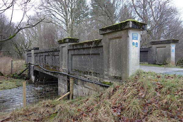 |
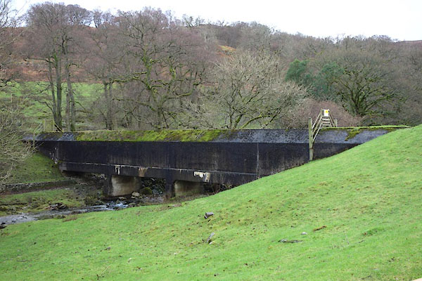
NY51191583 bridge, Shap Rural (3) (Shap Rural) |
|
|
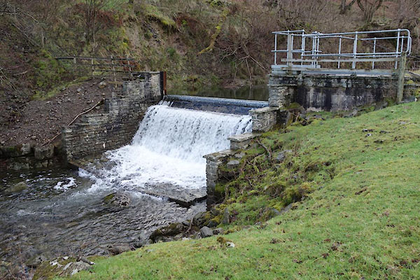 |
NY50971521 dam, Shap Rural (Shap Rural) |
|
|
 |
NY50991529 pipeline, Shap Rural (Shap Rural) |
|
