 Old Cumbria Gazetteer
 |
 |
|
| mine, Coniston (2) | ||
| locality:- | Brim Fell Haws | |
| locality:- | Brim Fell | |
| locality:- | Coppermines Valley | |
| locality:- | Coniston Fells | |
| civil parish:- | Coniston (formerly Lancashire) | |
| county:- | Cumbria | |
| locality type:- | copper mine (?) | |
| locality type:- | mine | |
| coordinates:- | SD277986 (roughly) | |
| 1Km square:- | SD2798 | |
| 10Km square:- | SD29 | |
| SummaryText:- | 2 levels above Brim Fell Level | |
|
|
||
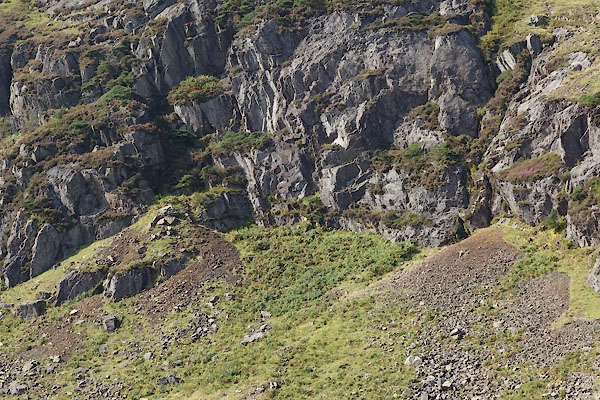 CBT23.jpg (taken 17.9.2014) 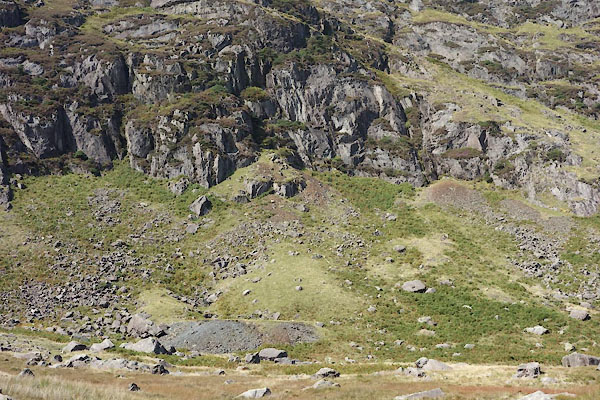 CBT22.jpg (taken 17.9.2014) |
||
|
|
||
 Lakes Guides menu.