 Old Cumbria Gazetteer
 |
 |
|
| Kendal: Wainwright's Yard | ||
| Wainwright's Yard | ||
| locality:- | Kendal | |
| civil parish:- | Kendal (formerly Westmorland) | |
| county:- | Cumbria | |
| locality type:- | street (yard) | |
| coordinates:- | SD51469282 (? etc) | |
| 1Km square:- | SD5192 | |
| 10Km square:- | SD59 | |
|
|
||
| evidence:- | old map:- OS County Series (Wmd 38 8) placename:- Woolpack Yard |
|
| source data:- | Maps, County Series maps of Great Britain, scales 6 and 25
inches to 1 mile, published by the Ordnance Survey, Southampton,
Hampshire, from about 1863 to 1948. |
|
|
|
||
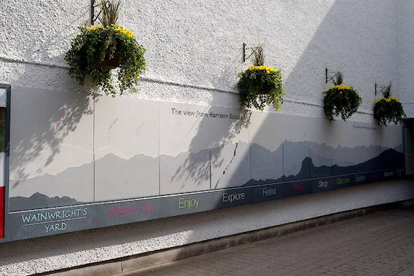 CAS64.jpg (taken 20.5.2014) 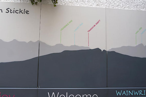 CAS65.jpg (taken 20.5.2014) |
||
| An outline view, but not to be seen from this place, it's a view from Harrison Stickle,
Great Langdale, used as decoration along the entrance to the yard. |
||
|
|
||
 Lakes Guides menu.