 |
 |
|
|
|
| runs into:- |
 Eden, River Eden, River |
|
|
|
|
| civil parish:- |
Wetheral (formerly Cumberland) |
| county:- |
Cumbria |
| locality type:- |
river |
| 1Km square:- |
NY4849 (etc) |
| 10Km square:- |
NY44 |
|
|
|
CCR28.jpg (taken 20.3.2015)
|
|
|
| evidence:- |
old map:- OS County Series (Cmd 31 3)
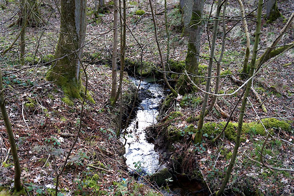
placename:- High Stand Gill
|
| source data:- |
Maps, County Series maps of Great Britain, scales 6 and 25
inches to 1 mile, published by the Ordnance Survey, Southampton,
Hampshire, from about 1863 to 1948.
|
|
|
| places:- |
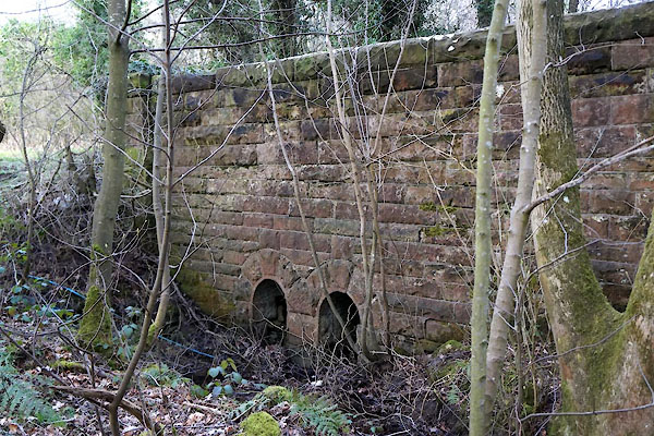 |
NY49094990 bridge, Wetheral (3) (Wetheral) |
|
|
|
NY49225030 High Stand Gill Viaduct (Wetheral) |
|
