 Old Cumbria Gazetteer
 |
 |
|
| Hazel Gill (3) | ||
| runs into:- |  Eden, River Eden, River |
|
|
|
||
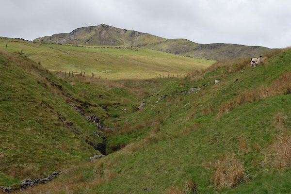
| Hazel Gill | ||
| locality:- | Mallerstang | |
| civil parish:- | Mallerstang (formerly Westmorland) | |
| county:- | Cumbria | |
| locality type:- | river | |
| 1Km square:- | SD7799 (etc) | |
| 10Km square:- | SD79 | |
|
|
||
 CDC87.jpg (taken 26.5.2015) 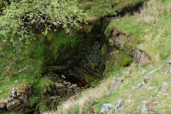 CDC85.jpg Waterfall, (taken 26.5.2015) |
||
|
|
||
| evidence:- | old map:- OS County Series (Wmd 36 3) placename:- Hazel Gill |
|
| source data:- | Maps, County Series maps of Great Britain, scales 6 and 25
inches to 1 mile, published by the Ordnance Survey, Southampton,
Hampshire, from about 1863 to 1948. |
|
|
|
||
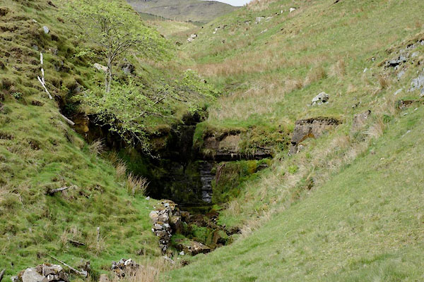 CDC84.jpg Waterfall, (taken 26.5.2015) 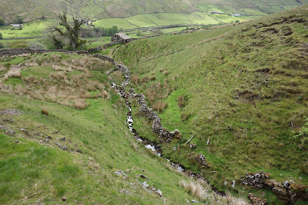 CDC86.jpg (taken 26.5.2015) |
||
|
|
||
Lakes Guides menu.