 Old Cumbria Gazetteer
 |
 |
|
| Goat's Crag Quarry, Coniston | ||
| Goat's Crag Quarry | ||
| civil parish:- | Coniston (formerly Lancashire) | |
| county:- | Cumbria | |
| locality type:- | slate quarry | |
| locality type:- | quarry | |
| coordinates:- | NY30810012 (etc) | |
| 1Km square:- | NY3000 | |
| 10Km square:- | NY30 | |
|
|
||
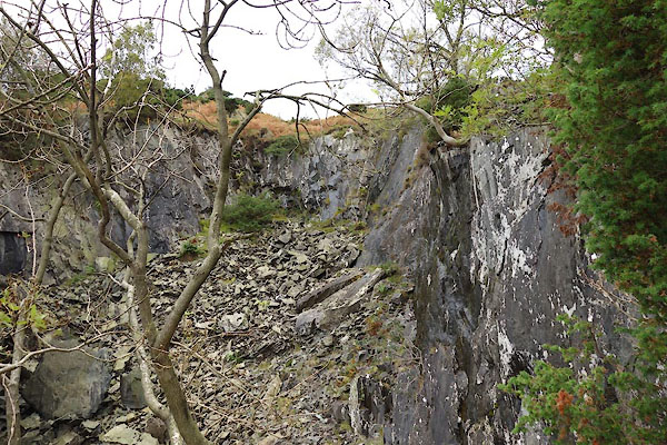 BZN35.jpg (taken 15.10.2013) 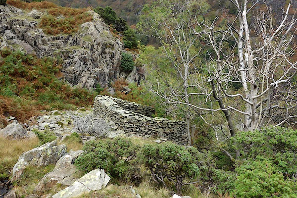 BZN33.jpg Hut, (taken 15.10.2013) |
||
|
|
||
| evidence:- | old map:- OS County Series (Lan 1 16) placename:- Goat's Crag Quarry |
|
| source data:- | Maps, County Series maps of Great Britain, scales 6 and 25
inches to 1 mile, published by the Ordnance Survey, Southampton,
Hampshire, from about 1863 to 1948. |
|
|
|
||
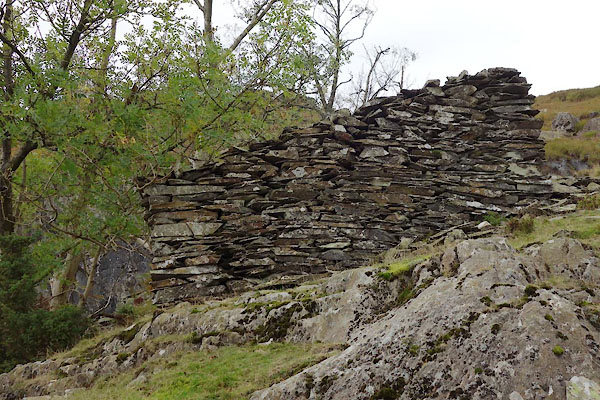 BZN34.jpg Hut, (taken 15.10.2013) 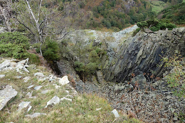 BZN36.jpg (taken 15.10.2013) 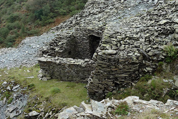 BZN37.jpg Hut, (taken 15.10.2013) 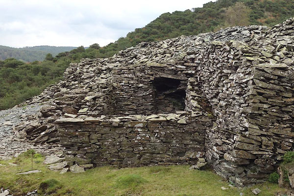 BZN38.jpg Hut, (taken 15.10.2013) 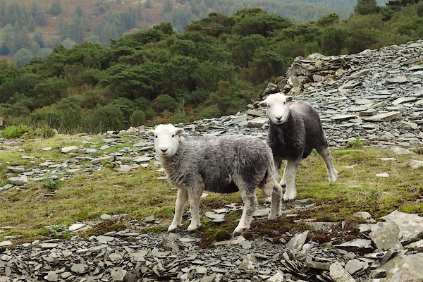 BZN39.jpg Herdwicks. (taken 15.10.2013) 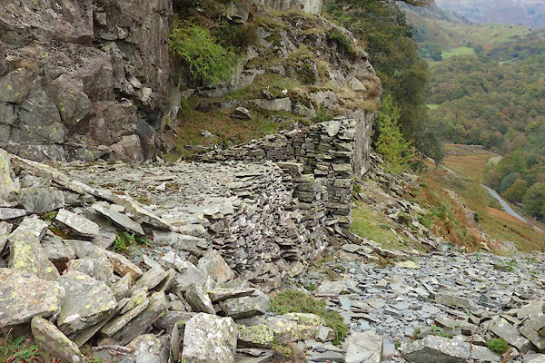 BZN40.jpg Hut, (taken 15.10.2013) 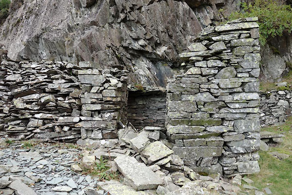 BZN41.jpg Hut, (taken 15.10.2013) 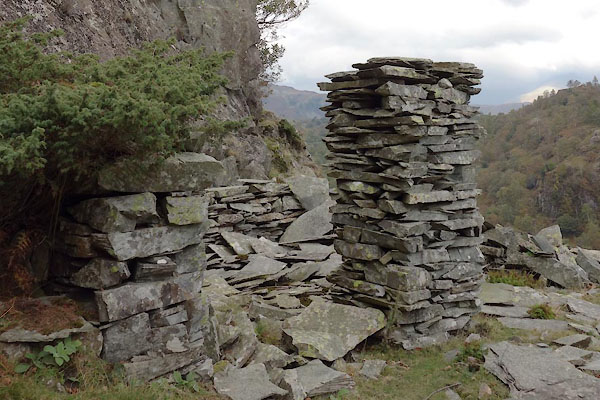 BZN42.jpg Hut, (taken 15.10.2013) 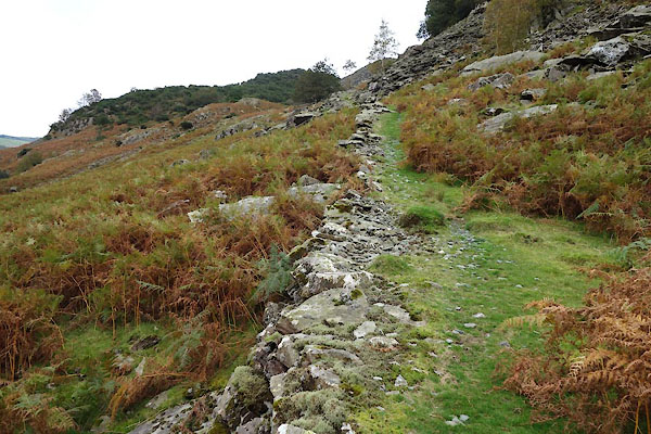 BZN43.jpg Track to north. (taken 15.10.2013) |
||
|
|
||
| Glover, David: 2014: Quarries of Lakeland: Bookcase (Carlisle, Cumbria) |
||
|
|
||
 Lakes Guides menu.