Old Cumbria Gazetteer
 |
 |
|
||
| Gategill Beck | ||||
| runs into:- |  Glenderamackin, River Glenderamackin, River |
|||
|
|
||||
| locality:- | Threlkeld | |||
| civil parish:- | Threlkeld (formerly Cumberland) | |||
| county:- | Cumbria | |||
| locality type:- | river | |||
| 1Km square:- | NY3325 (etc) | |||
| 10Km square:- | NY32 | |||
|
|
||||
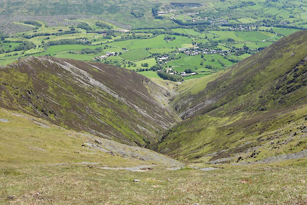
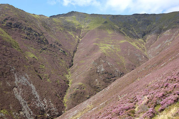 CBO12.jpg (taken 26.8.2014)  BWD82.jpg Waterfall, (taken 26.3.2012) |
||||
|
|
||||
| evidence:- | old map:- OS County Series (Cmd 56 16) placename:- Gategill Beck |
|||
| source data:- | Maps, County Series maps of Great Britain, scales 6 and 25
inches to 1 mile, published by the Ordnance Survey, Southampton,
Hampshire, from about 1863 to 1948. |
|||
|
|
||||
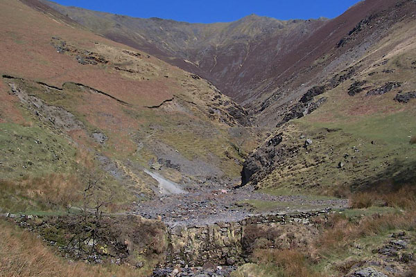 BWD83.jpg Weir associated with lead mines, (taken 26.3.2012) 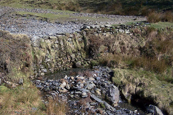 BWD84.jpg Weir associated with lead mines, (taken 26.3.2012) |
||||
|
|
||||
| places:- |
|
|||
Lakes Guides menu.