 |
 |
|
|
|
| runs into:- |
 Eden, River Eden, River |
|
|
|
|
| civil parish:- |
Nateby (formerly Westmorland) |
| county:- |
Cumbria |
| locality type:- |
river |
| 1Km square:- |
NY7707 (etc) |
| 10Km square:- |
NY70 |
|
|
| evidence:- |
old map:- OS County Series (Wmd 30 3)
placename:- Broad Ing Sike
|
| source data:- |
Maps, County Series maps of Great Britain, scales 6 and 25
inches to 1 mile, published by the Ordnance Survey, Southampton,
Hampshire, from about 1863 to 1948.
""
|
|
|
| places:- |
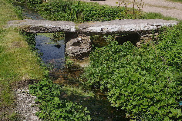 |
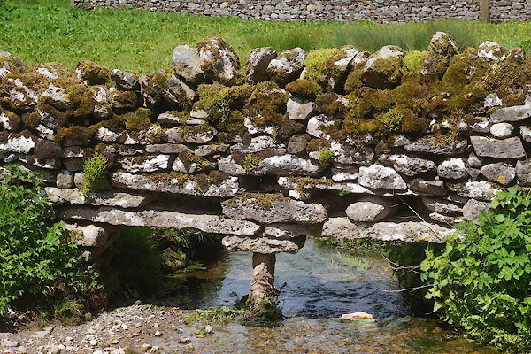
NY77600680 footbridge, Nateby (Nateby) |
|
|
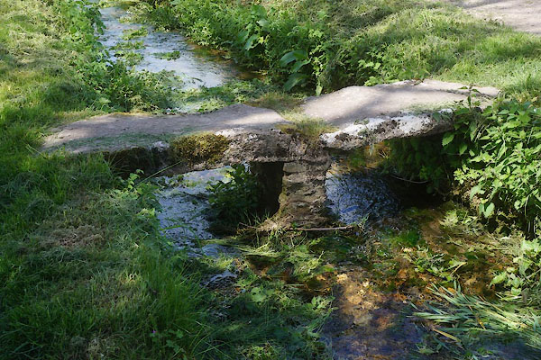 |
NY77580681 footbridge, Nateby (2) (Nateby) |
|
|
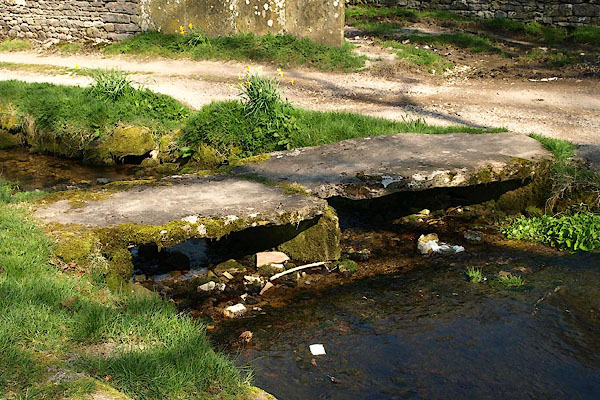 |
NY77650677 footbridge, Nateby (3) (Nateby) |
|
|
 |
NY77590682 ford, Nateby (Nateby) |
|
|
 |
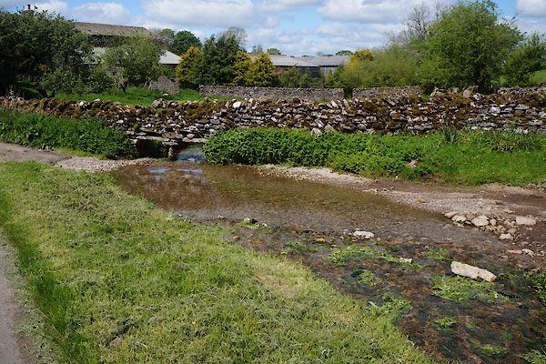
NY77550683 stone wall, Nateby (Nateby) |
|
