 |
 |
|
|
|
|
|
| locality:- |
Coniston Fells |
| civil parish:- |
Coniston (formerly Lancashire) |
| county:- |
Cumbria |
| locality type:- |
river |
| 1Km square:- |
SD2897 (etc) |
| 10Km square:- |
SD29 |
|
|
|
CBT10.jpg (taken 17.9.2014)
|
|
|
| evidence:- |
old map:- OS County Series (Lan 4 3)
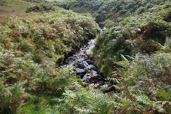
placename:- Braidy Beck
|
| source data:- |
Maps, County Series maps of Great Britain, scales 6 and 25
inches to 1 mile, published by the Ordnance Survey, Southampton,
Hampshire, from about 1863 to 1948.
|
|
|
| places:- |
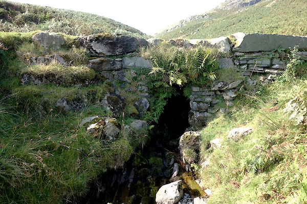 |
SD28759718 footbridge, Coniston (3) (Coniston) |
|
|
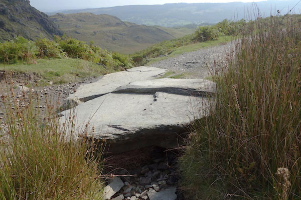 |
SD28539766 footbridge, Coniston (4) (Coniston) |
|

 Lakes Guides menu.