 Old Cumbria Gazetteer
 |
 |
|
| bield, Mardale (2) | ||
| locality:- | Mardale | |
| civil parish:- | Shap Rural (formerly Westmorland) | |
| county:- | Cumbria | |
| locality type:- | bield | |
| coordinates:- | NY46671165 | |
| 1Km square:- | NY4611 | |
| 10Km square:- | NY41 | |
|
|
||
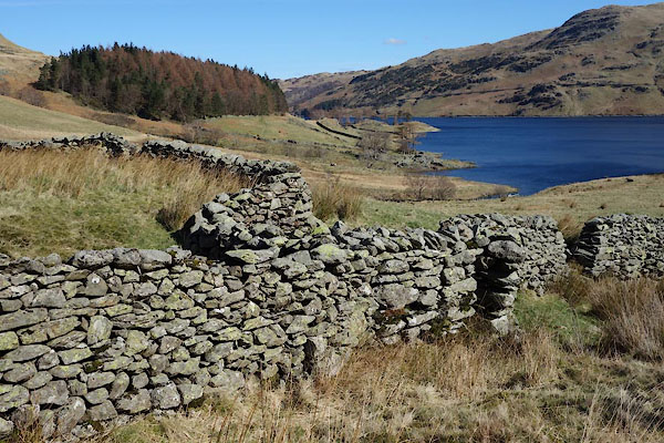 CAD94.jpg (taken 24.3.2014) |
||
|
|
||
| evidence:- | old map:- OS County Series (Wmd 20 6) |
|
| source data:- | Maps, County Series maps of Great Britain, scales 6 and 25
inches to 1 mile, published by the Ordnance Survey, Southampton,
Hampshire, from about 1863 to 1948. "Bield" |
|
|
|
||
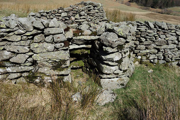 CAD95.jpg (taken 24.3.2014) 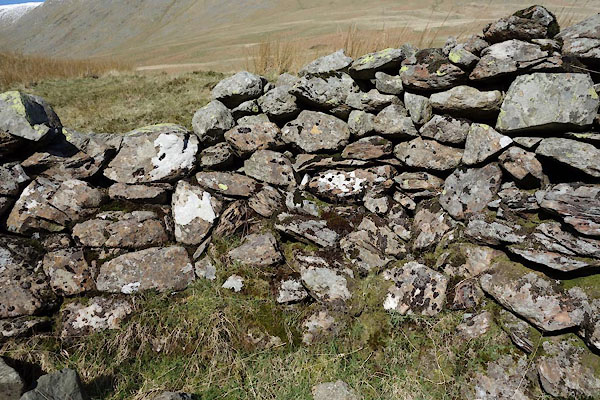 CAD96.jpg Walling. (taken 24.3.2014) |
||
|
|
||
 Lakes Guides menu.