 Old Cumbria Gazetteer
 |
 |
|
| included in:- |
 track, Tills Hole to Garnett Bridge track, Tills Hole to Garnett Bridge |
|
| track, Wads Howe to Docker Nook: walk 2, 14.10.2012 | ||
| Wads Howe to Docker Nook | ||
| civil parish:- | Longsleddale (formerly Westmorland) | |
| county:- | Cumbria | |
| locality type:- | track route | |
| coordinates:- | NY50160219 (etc) | |
| 1Km square:- | NY5002 | |
| 10Km square:- | NY40 | |
| 10Km square:- | NY50 | |
|
|
||
| MN photo:- |
Walk, from Wads Howe to Docker Nook, 14 October 2012. |
|
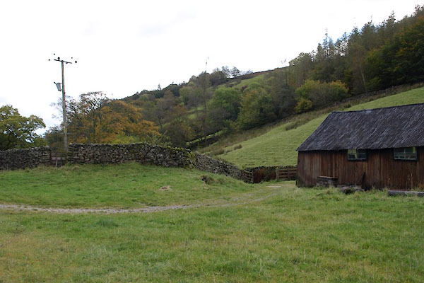 BXM69.jpg At Wads Howe, (taken 14.10.2012) 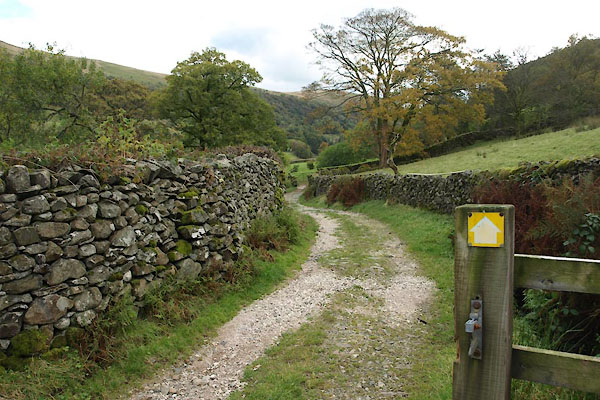 BXM70.jpg (taken 14.10.2012) 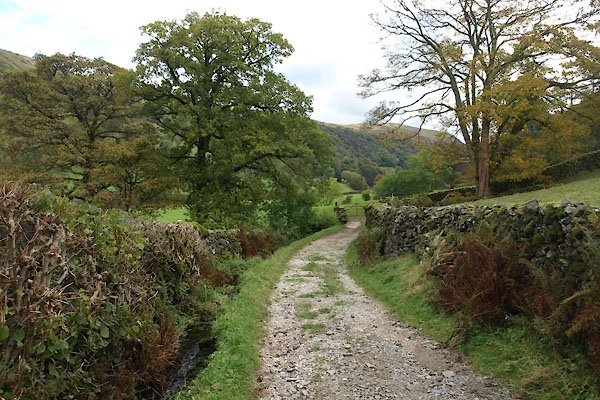 BXM71.jpg (taken 14.10.2012) 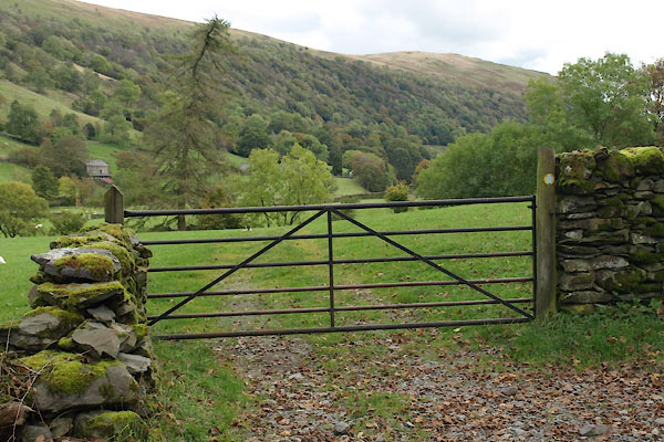 BXM72.jpg You cross the Black Beck here, but it's not very noticeable! (taken 14.10.2012) 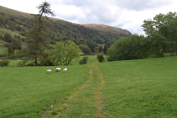 BXM73.jpg (taken 14.10.2012) 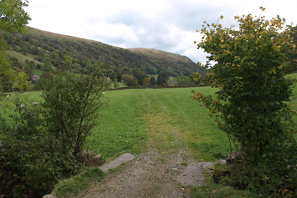 BXM74.jpg Over one of many small becks. (taken 14.10.2012) 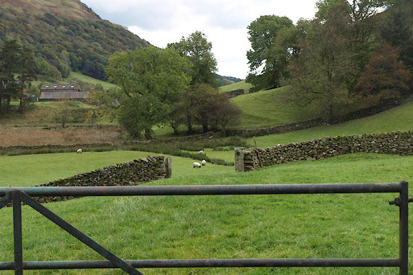 BXM76.jpg (taken 14.10.2012) 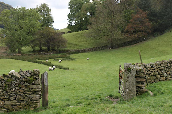 BXM77.jpg Beech Hill wood on the right. (taken 14.10.2012) 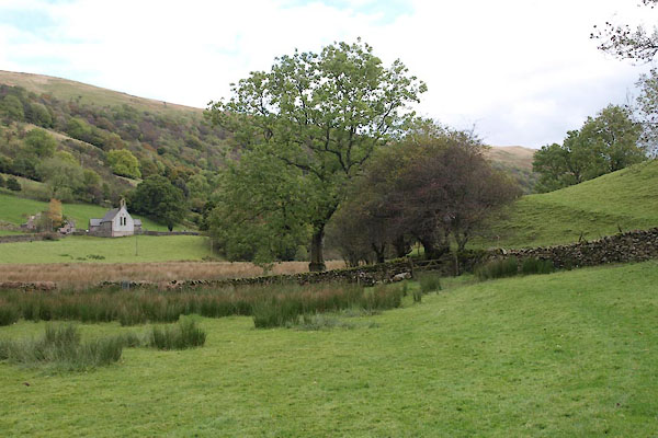 BXM78.jpg St Mary's Church on the left. (taken 14.10.2012) 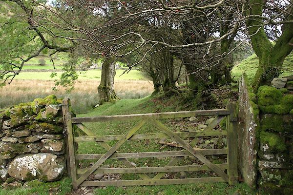 BXM79.jpg ... another gate, (taken 14.10.2012) 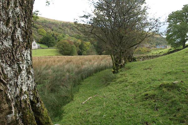 BXM80.jpg The area on the left is swampy, regularly flooded. (taken 14.10.2012) 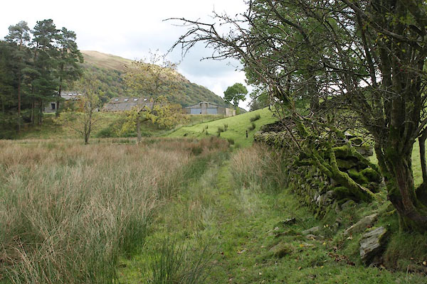 BXM81.jpg (taken 14.10.2012) 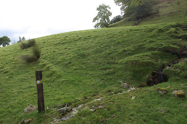 BXM83.jpg The path is well waymarked, the yellow easily seen at a distance; the direction of the arrow is not clear at a distance. (taken 14.10.2012) 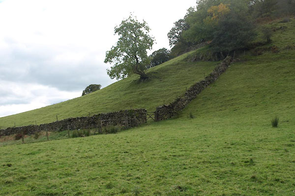 BXM84.jpg Up the brae to go round Beech Hill. The waymark is spottable; the path isn't. Beech Hill wood on the right. (taken 14.10.2012) 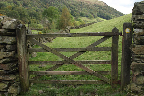 BXM86.jpg (taken 14.10.2012) 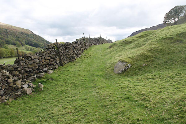 BXM88.jpg (taken 14.10.2012) 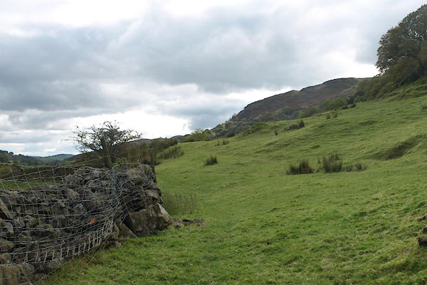 BXM89.jpg Sheep are good at jumping up walls; stone wall plus barbed wire plus layers of fence wire ... (taken 14.10.2012) 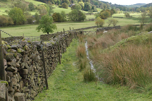 BXM90.jpg (taken 14.10.2012) 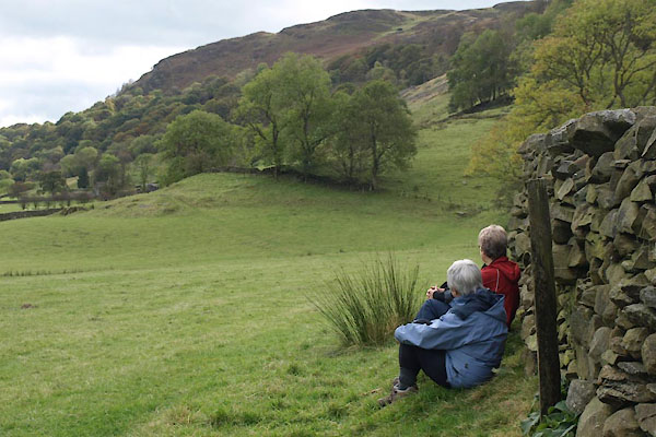 BXM91.jpg Walkers, resting, and enjoying the view down the valley. (taken 14.10.2012) 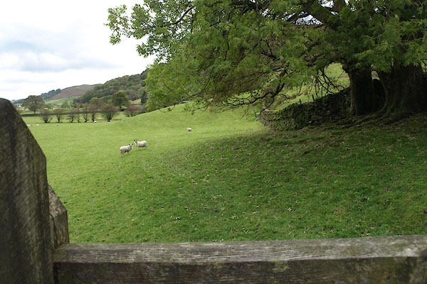 BXM92.jpg (taken 14.10.2012) 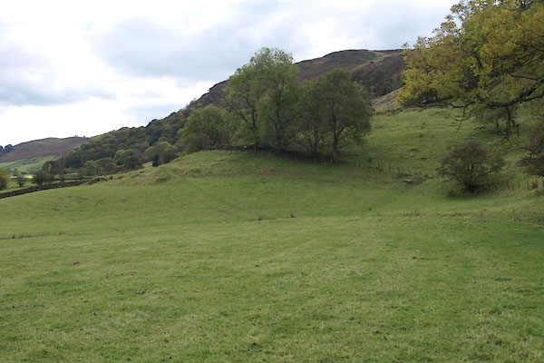 BXM93.jpg (taken 14.10.2012) 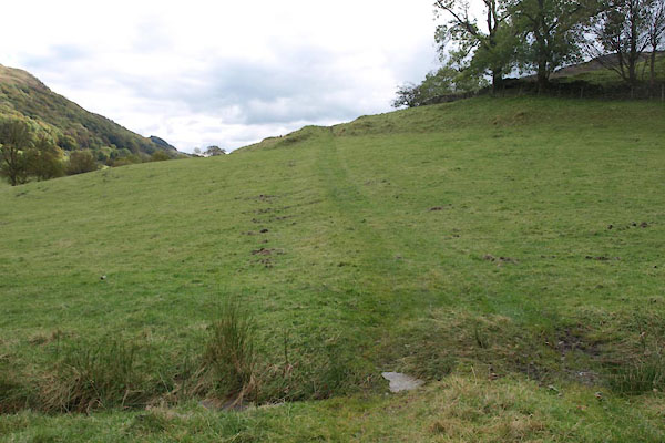 BXM94.jpg (taken 14.10.2012) 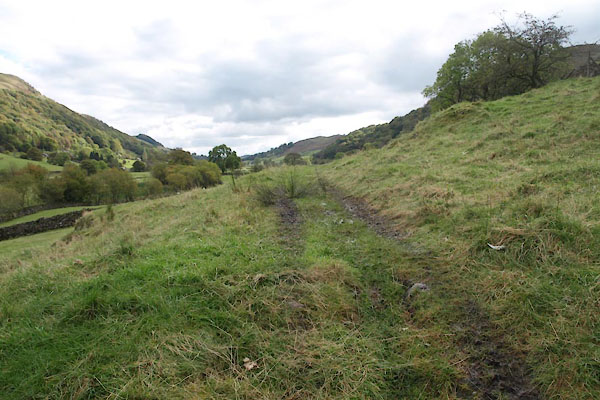 BXM95.jpg Evidence of Quadbike. (taken 14.10.2012) 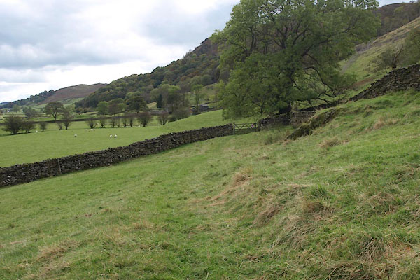 BXM96.jpg (taken 14.10.2012) 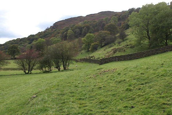 BXM97.jpg Kilnstones Wood on the right, and the shoulder of the scar above Docker Nook. (taken 14.10.2012) 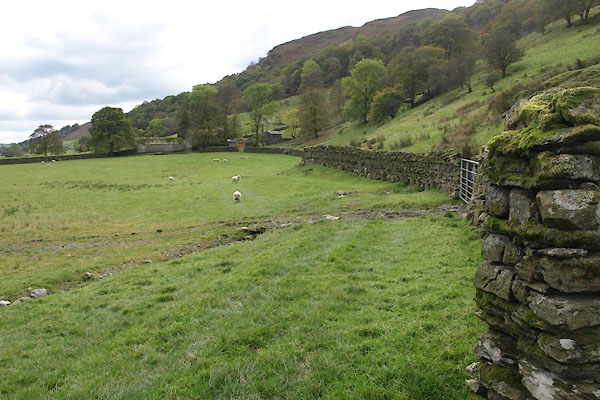 BXM98.jpg Kilnstones in view. (taken 14.10.2012) 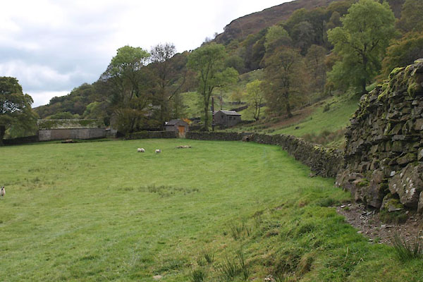 BXM99.jpg (taken 14.10.2012) 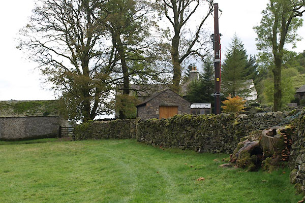 BXN01.jpg On the N side of Kilnstones there is a micro generating plant, in the small stone shed. (taken 14.10.2012) 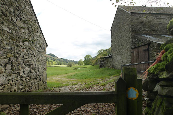 BXN02.jpg Between the barns at Kilnstones. (taken 14.10.2012) 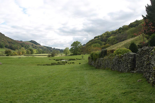 BXN03.jpg Kilnstones on the right. (taken 14.10.2012) 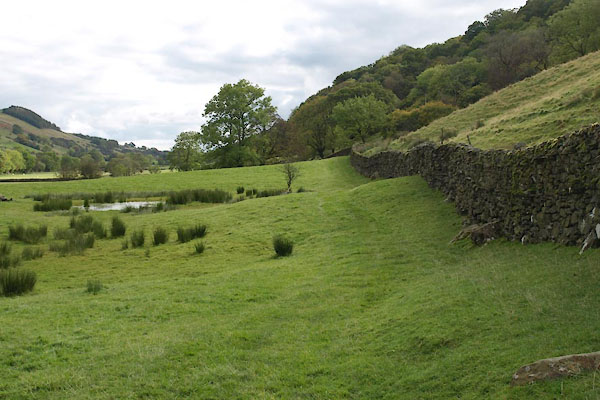 BXN04.jpg (taken 14.10.2012) 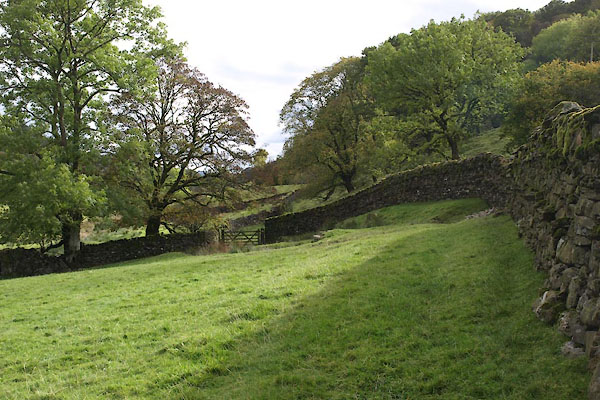 BXN05.jpg (taken 14.10.2012) 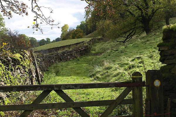 BXN06.jpg Kilnstones Wood on the right. (taken 14.10.2012) 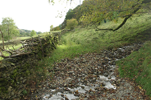 BXN07.jpg ... another nameless beck. (taken 14.10.2012) 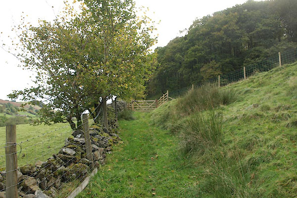 BXN08.jpg (taken 14.10.2012) 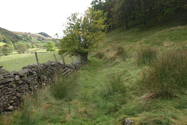 BXN09.jpg Along the edge of Kilnstones Wood. (taken 14.10.2012) 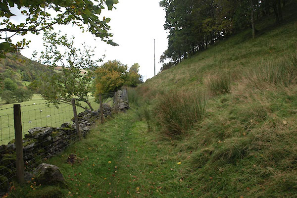 BXN10.jpg (taken 14.10.2012) 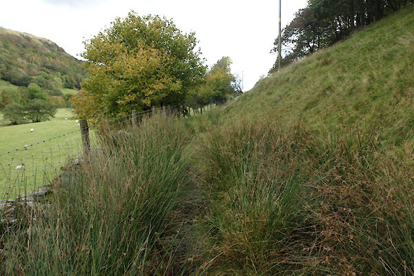 BXN11.jpg (taken 14.10.2012) 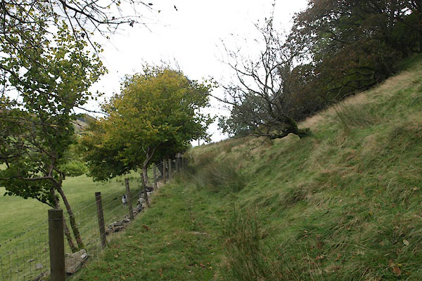 BXN12.jpg (taken 14.10.2012) 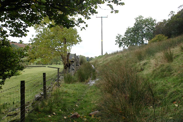 BXN13.jpg Electicity supply poles are kept discreetly away from the road in this valley. Here, they are by the path. (taken 14.10.2012) 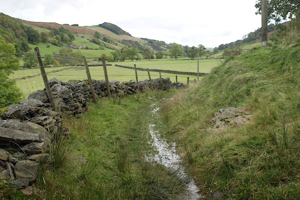 BXN14.jpg The prominent wood in the distance is on Murthwaite Knot. (taken 14.10.2012) 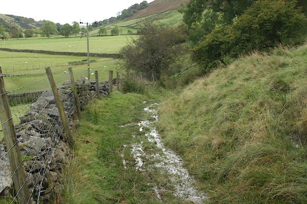 BXN15.jpg As in may places, a streamlet runs along the path. (taken 14.10.2012) 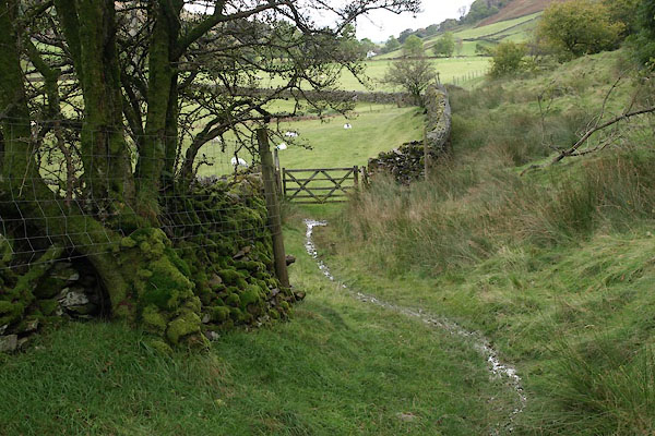 BXN16.jpg (taken 14.10.2012) 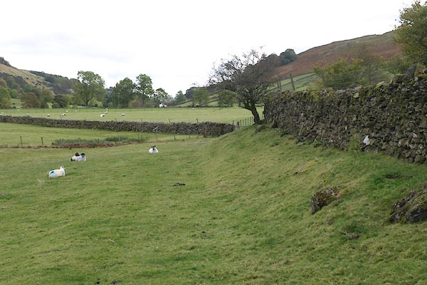 BXN17.jpg (taken 14.10.2012) 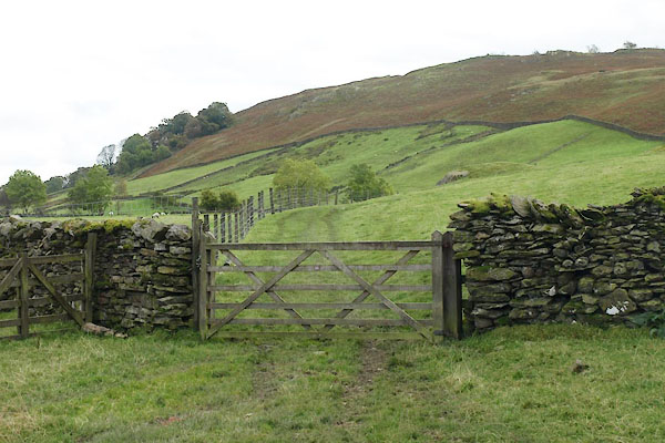 BXN18.jpg (taken 14.10.2012) 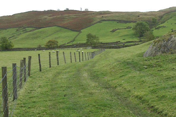 BXN19.jpg (taken 14.10.2012) 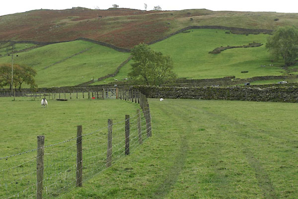 BXN20.jpg (taken 14.10.2012) 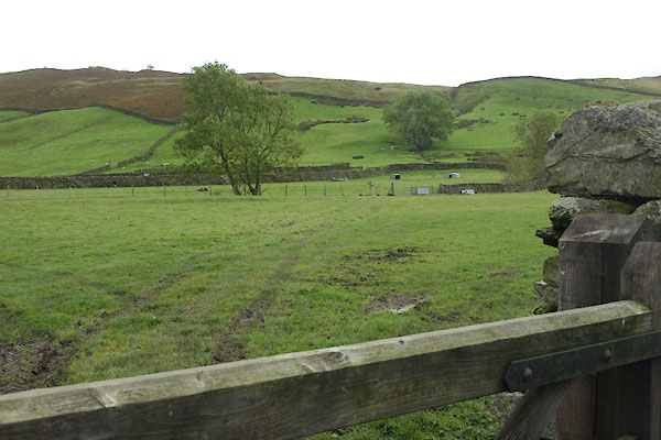 BXN22.jpg (taken 14.10.2012) 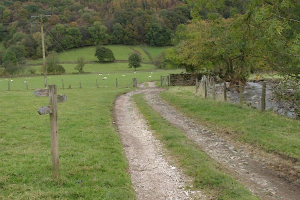 BXN23.jpg Footpath junction by Docker Nook. (taken 14.10.2012) |
||
|
|
||
Lakes Guides menu.