 Old Cumbria Gazetteer
 |
 |
|
| track, Tills Hole to Garnett Bridge | ||
| Tills Hole to Garnett Bridge | ||
| Garnett Bridge to Tills Hole | ||
| civil parish:- | Longsleddale (formerly Westmorland) | |
| county:- | Westmorland | |
| locality type:- | track route | |
| locality type:- | bridleway | |
| locality type:- | drove road (? ex) | |
| 10Km square:- | NY40 | |
|
|
||
| evidence:- | old map:- OS County Series (Wmd 27 6) |
|
| source data:- | Maps, County Series maps of Great Britain, scales 6 and 25
inches to 1 mile, published by the Ordnance Survey, Southampton,
Hampshire, from about 1863 to 1948. OS County Series (Wmd 27 7) |
|
|
|
||
 Tills Hole to Wads Howe, photo record of walk Tills Hole to Wads Howe, photo record of walk |
||
|
|
||
| Wads Howe to Docker Nook, photo record of walk |
||
|
|
||
| Docker Nook to Garnett Bridge, photo record of walk |
||
|
|
||
| evidence:- | old map:- OS 1881-82 New Series (outline edition) |
|
| source data:- | Map, engraving, area north of Kendal, Westmorland, New Series
one inch map, outline edition, sheet 39, scale 1 inch to 1 mile,
published by the Ordnance Survey, Southampton, Hampshire,
1881-82.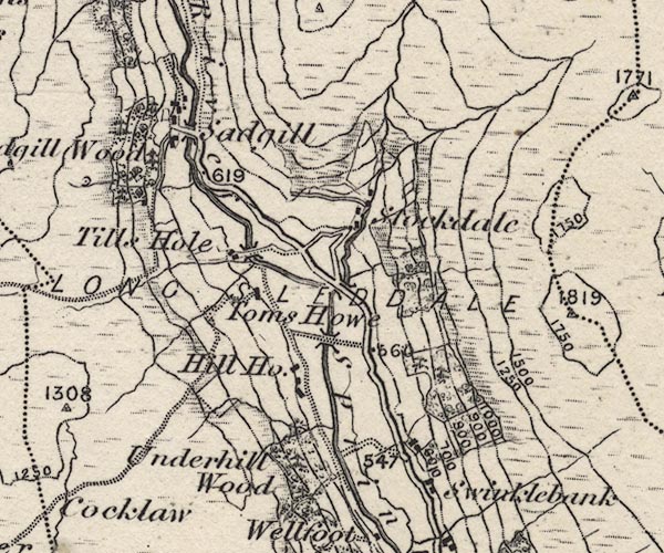 O21NY40X.jpg 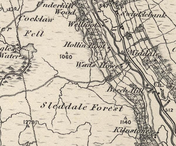 O21NY40W.jpg 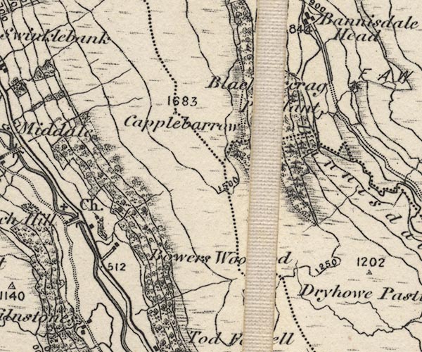 O21NY50B.jpg 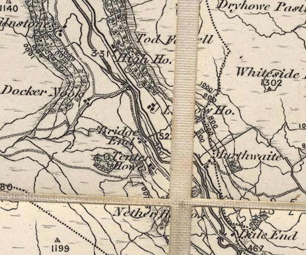 O21NY50A.jpg item:- JandMN : 61 Image © see bottom of page |
|
|
|
||
| evidence:- | records:- Curwen 1926 |
|
| source data:- | Records Relating to the Barony of Kendale, supplementary vol.3,
edited by John F Curwen, published by Titus Wilson and Son,
Kendal, Westmorland, 1926. CURWEN01.txt "1699/1700 January 12 : Roger Lickbarrow of Dockernook in Longsleddale, yeo., indicted for obstructing the common highway there leading from Kilne Stone to Dockernook Field, by raising a fence. Found not guilty on 11 October, 1700. K. Indictment Book, 1692-1724." |
|
|
|
||
| evidence:- | descriptive text:- Ffinch 1983 |
|
| source data:- | Book, Kendal and the Kent Valley, by Michael Ffinch, published
by Robert Hale, London, 1983. "... there was a packhorse track along the western side [of the valley] which passed Kilnstone Farm, a sixteenth century building that was used in the days of the packhorse train as an inn." |
|
|
|
||
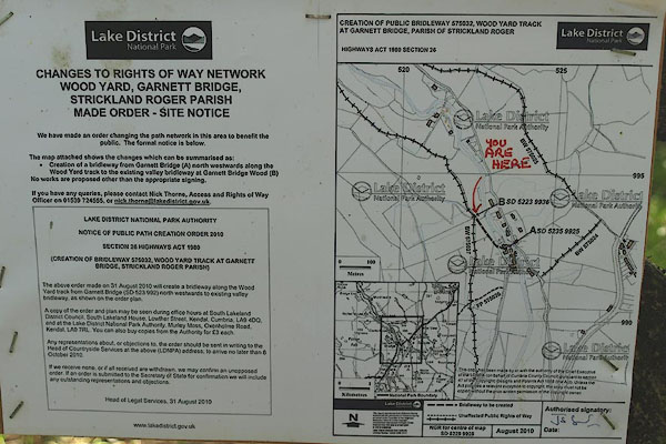 BTO35.jpg Planning notice for new access at Garnett Bridge. (taken 24.9.2010) |
||
|
|
||
 Lakes Guides menu.