 Old Cumbria Gazetteer
 |
 |
|
| included in:- |
 Sedgwick Trail, Garsdale Sedgwick Trail, Garsdale |
|
| Sedgwick Trail 8, Garsdale | ||
| site name:- | Sedgwick Trail | |
| locality:- | Clough River | |
| civil parish:- | Garsdale (formerly Yorkshire) | |
| county:- | Cumbria | |
| locality type:- | trail point | |
| coordinates:- | SD69419146 | |
| 1Km square:- | SD6991 | |
| 10Km square:- | SD69 | |
|
|
||
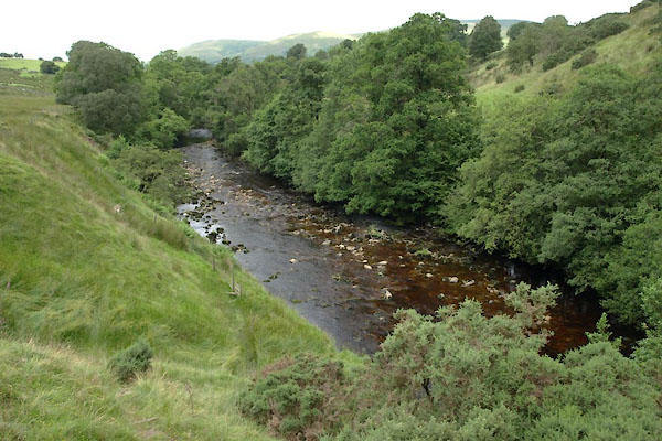 BWY76.jpg View from the marker post; landscape change at the Dent Fault. (taken 27.7.2012) 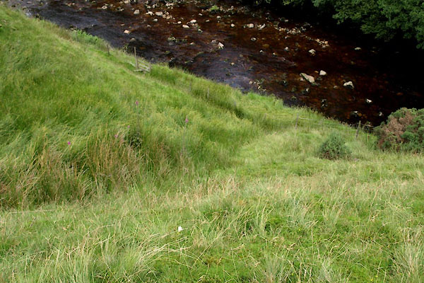 BWY77.jpg Gully on the line of the Dent Fault. (taken 27.7.2012) |
||
| The river crosses the Dent Fault just downstream of the marker post, and is 'visible'
as a gully in the river bank. The softer rocks downstream have been eroded into a
more gentle valley. |
||
| Downstream the rocks are Brathay Flags, from the Silurian period, 440-410 Myrs old;
upstream the limestones of the, older, Carboniferous period, 345-280 Myrs old. The
fault occured during mountain building about 290 Myrs ago, the limestones are crumpled
up against the brathay flags. The fault was first discovered and interpretted by Adam
Sedgwick. |
||
|
|
||
Lakes Guides menu.