 Old Cumbria Gazetteer
 |
 |
|
| included in:- |
 Sedgwick Trail, Garsdale Sedgwick Trail, Garsdale |
|
| Sedgwick Trail 7, Garsdale | ||
| site name:- | Sedgwick Trail | |
| locality:- | Clough River | |
| civil parish:- | Garsdale (formerly Yorkshire) | |
| county:- | Cumbria | |
| locality type:- | trail point | |
| coordinates:- | SD69479146 | |
| 1Km square:- | SD6991 | |
| 10Km square:- | SD69 | |
|
|
||
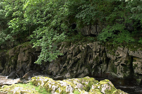 BWY67.jpg View from the marker post. (taken 27.7.2012) |
||
| Water worn limestone, almost vertical bedding. |
||
|
|
||
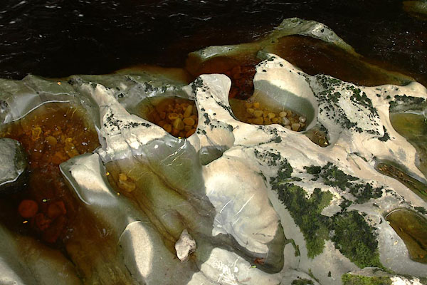 BWY68.jpg Churn pots in the river bed. (taken 27.7.2012) 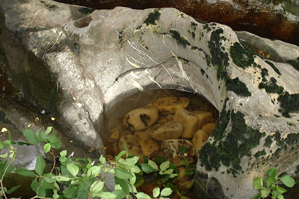 BWY69.jpg Churn pot in the river bed. (taken 27.7.2012) 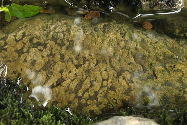 BWY70.jpg Coral colony, Lithstrotion sp; under water. (taken 27.7.2012) 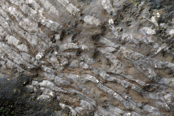 BWY72.jpg Coral colony, Lithstrotion sp. (taken 27.7.2012) 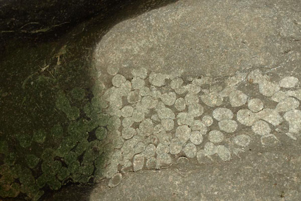 BWY73.jpg Coral colony, Lithstrotion sp. (taken 27.7.2012) 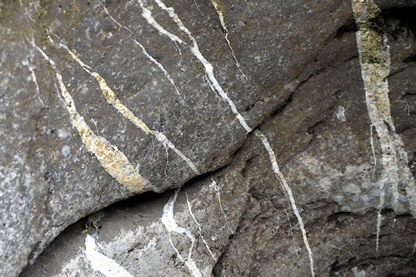 BWY71.jpg Mineral veins. (taken 27.7.2012) |
||
| The limestone beds are here tilted nearly vertical, by the movement of the Dent Fault.
The white mineral veins are also an indicator of the closeness of the fault (why?). |
||
|
|
||
Lakes Guides menu.