 Old Cumbria Gazetteer
 |
 |
|
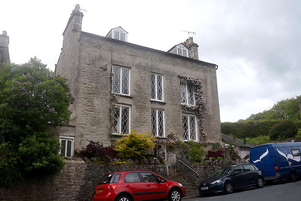
| Mount Pleasant, Kendal | ||
| Mount Pleasant | ||
| locality:- | Kendal | |
| civil parish:- | Kendal (formerly Westmorland) | |
| county:- | Cumbria | |
| locality type:- | building/s (?) | |
| coordinates:- | SD51199247 | |
| 1Km square:- | SD5192 | |
| 10Km square:- | SD59 | |
|
|
||
 CDE08.jpg (taken 3.6.2015)  CDE09.jpg Windows. (taken 3.6.2015) |
||
|
|
||
| evidence:- | old map:- OS County Series (Wmd 38 8) placename:- Mount Pleasant |
|
| source data:- | Maps, County Series maps of Great Britain, scales 6 and 25
inches to 1 mile, published by the Ordnance Survey, Southampton,
Hampshire, from about 1863 to 1948. |
|
|
|
||
 Lakes Guides menu.