 Old Cumbria Gazetteer
 |
 |
|
| Goose Holme, Kendal | ||
| Goose Holme | ||
| locality:- | Kendal | |
| civil parish:- | Kendal (formerly Westmorland) | |
| county:- | Cumbria | |
| locality type:- | locality | |
| locality type:- | tenter ground (ex) | |
| coordinates:- | SD51969281 (etc) | |
| 1Km square:- | SD5192 | |
| 10Km square:- | SD59 | |
| SummaryText:- | Once an island between two braids of the river | |
|
|
||
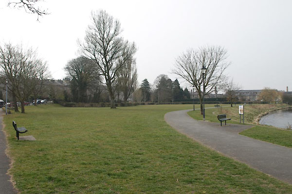 BYC53.jpg (taken 11.4.2013) |
||
|
|
||
| evidence:- | old map:- OS County Series (Wmd 38 8) placename:- Goose Holme |
|
| source data:- | Maps, County Series maps of Great Britain, scales 6 and 25
inches to 1 mile, published by the Ordnance Survey, Southampton,
Hampshire, from about 1863 to 1948. "Goose Holme (Tenter Ground)" |
|
|
|
||
| evidence:- | old map:- Jefferys 1770 |
|
| source data:- | Map, 4 sheets, The County of Westmoreland, scale 1 inch to 1
mile, surveyed 1768, and engraved and published by Thomas
Jefferys, London, 1770.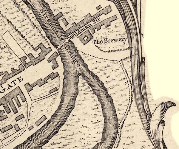 J55192Z.jpg 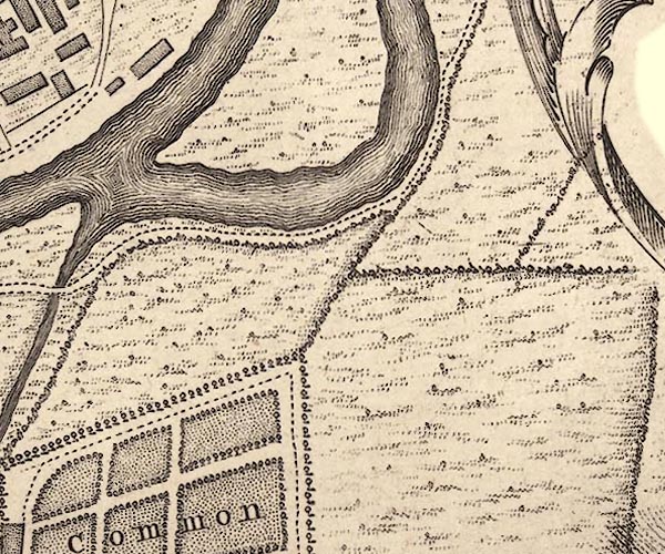 J55192Y.jpg island item:- National Library of Scotland : EME.s.47 Images © National Library of Scotland |
|
|
|
||
 Lakes Guides menu.