 Old Cumbria Gazetteer
 |
 |
|
| Gale House, Ambleside | ||
| Gale House | ||
| Street:- | High Gale | |
| locality:- | Gale, The | |
| locality:- | Ambleside | |
| civil parish:- | Lakes (formerly Westmorland) | |
| county:- | Cumbria | |
| locality type:- | buildings | |
| coordinates:- | NY37730421 | |
| 1Km square:- | NY3704 | |
| 10Km square:- | NY30 | |
|
|
||
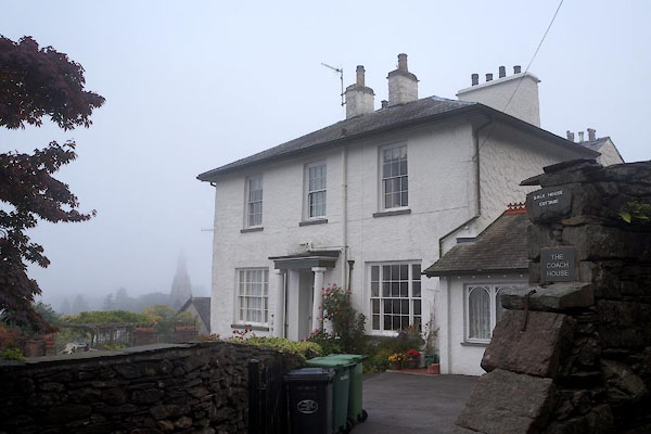 CEA25.jpg (taken 2.10.2015) 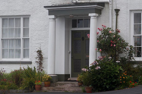 CEA26.jpg Porch. (taken 2.10.2015) |
||
|
|
||
| evidence:- | old map:- OS County Series (Wmd 26 10) placename:- Gale House |
|
| source data:- | Maps, County Series maps of Great Britain, scales 6 and 25
inches to 1 mile, published by the Ordnance Survey, Southampton,
Hampshire, from about 1863 to 1948. |
|
|
|
||
 Lakes Guides menu.