 Old Cumbria Gazetteer
 |
 |
|
| Copper House, Coniston | ||
| Copper House | ||
| site name:- | Coniston Railway | |
| locality:- | Coniston | |
| civil parish:- | Coniston (formerly Lancashire) | |
| county:- | Cumbria | |
| locality type:- | goods depot | |
| coordinates:- | SD29769771 (etc) | |
| 1Km square:- | SD2997 | |
| 10Km square:- | SD29 | |
| SummaryText:- | loading wharf for copper ore and slate | |
|
|
||
| evidence:- | old map:- OS County Series (Lan 4 3) |
|
| source data:- | Maps, County Series maps of Great Britain, scales 6 and 25
inches to 1 mile, published by the Ordnance Survey, Southampton,
Hampshire, from about 1863 to 1948.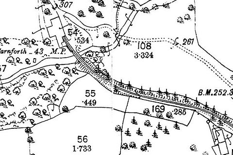 click to enlarge click to enlargeCSRY0121.jpg |
|
|
|
||
 Lakes Guides menu.