 Old Cumbria Gazetteer
 |
 |
|
| included in:- |
 Sedgwick Trail, Garsdale Sedgwick Trail, Garsdale |
|
| Tom Croft Cave, Garsdale | ||
| Tom Croft Cave | ||
| locality:- | Clough River | |
| locality:- | Sedgwick Trail | |
| civil parish:- | Garsdale (formerly Yorkshire) | |
| county:- | Cumbria | |
| locality type:- | cave | |
| coordinates:- | SD69459146 (?) | |
| 1Km square:- | SD6991 | |
| 10Km square:- | SD69 | |
|
|
||
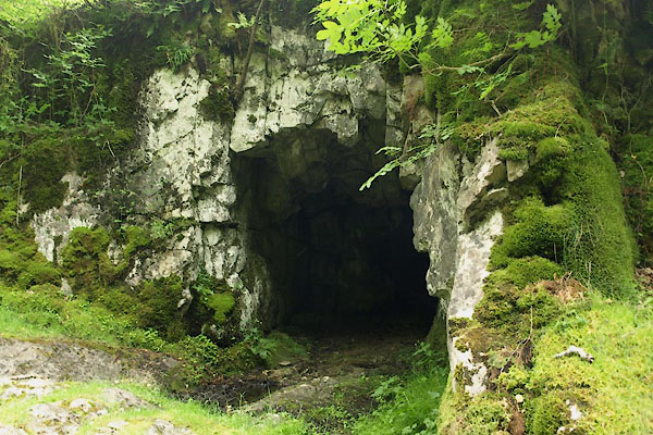 BWX80.jpg Upper entrance. (taken 22.7.2012) 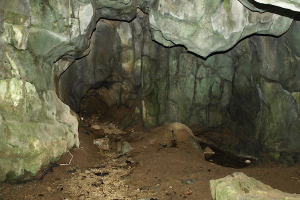 BWX82.jpg Looking in. (taken 22.7.2012) |
||
|
|
||
| evidence:- | old map:- OS County Series (Yrk 64 1) placename:- Tom Croft Cave |
|
| source data:- | Maps, County Series maps of Great Britain, scales 6 and 25
inches to 1 mile, published by the Ordnance Survey, Southampton,
Hampshire, from about 1863 to 1948. |
|
|
|
||
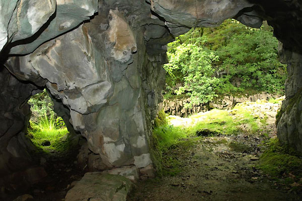 BWX83.jpg Looking out. (taken 22.7.2012) 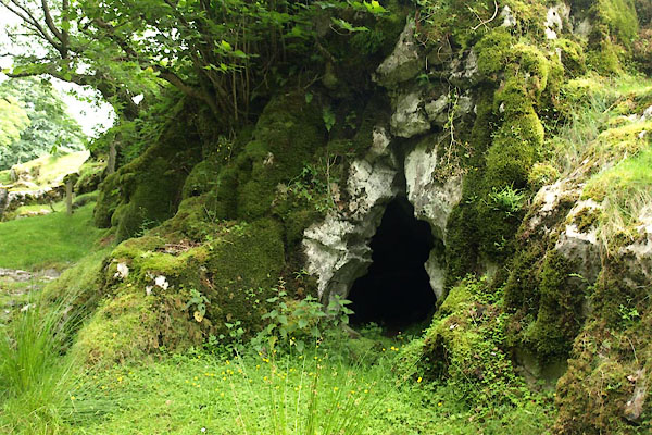 BWX81.jpg Lower entrance. (taken 22.7.2012) |
||
|
|
||
| person:- | : Croft, Tom |
|
|
|
||
Lakes Guides menu.