 Old Cumbria Gazetteer
 |
 |
|
| Kernel Crag, Coniston | ||
| Kernel Crag | ||
| Kennel Crag | ||
| site name:- | Coniston Fells | |
| locality:- | Coppermines Valley | |
| civil parish:- | Coniston (formerly Lancashire) | |
| county:- | Cumbria | |
| locality type:- | rocks | |
| coordinates:- | SD28479905 | |
| 1Km square:- | SD2899 | |
| 10Km square:- | SD29 | |
|
|
||
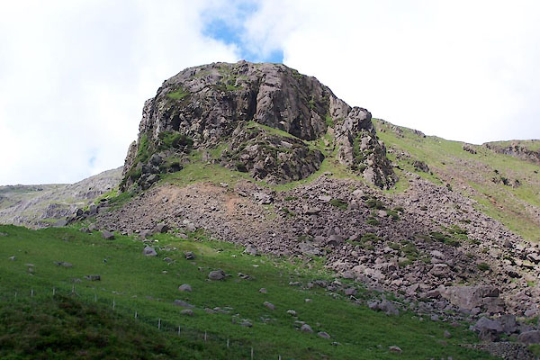 BWU46.jpg (taken 18.6.2012) 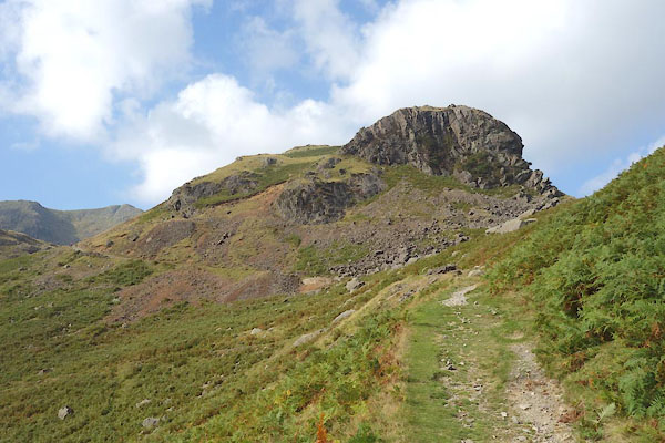 CBT15.jpg (taken 17.9.2014) |
||
|
|
||
| evidence:- | old map:- OS County Series (Lan 1) placename:- Kernel Crag |
|
| source data:- | Maps, County Series maps of Great Britain, scales 6 and 25
inches to 1 mile, published by the Ordnance Survey, Southampton,
Hampshire, from about 1863 to 1948. "Kernel Crag" |
|
|
|
||
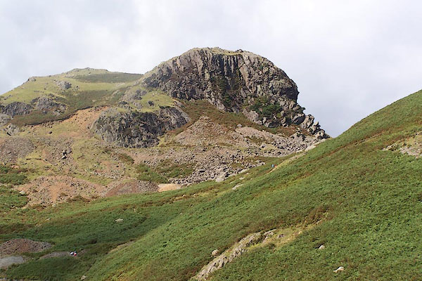 BOC45.jpg (taken 3.9.2007) |
||
|
|
||
 Lakes Guides menu.