 Old Cumbria Gazetteer
 |
 |
|
| Ainslie Pier, Ulverston | ||
| Ainslie Pier | ||
| site name:- | Leven, River | |
| locality:- | North Lonsdale Iron and Steel Works | |
| locality:- | South Ulverston | |
| civil parish:- | Ulverston (formerly Lancashire) | |
| county:- | Cumbria | |
| locality type:- | quay | |
| locality type:- | railway sidings | |
| coordinates:- | SD31077733 (etc) | |
| 1Km square:- | SD3177 | |
| 10Km square:- | SD37 | |
|
|
||
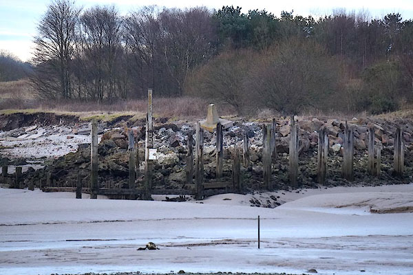 CCI35.jpg (taken 5.2.2015) 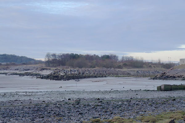 CCI34.jpg (taken 5.2.2015) |
||
|
|
||
| evidence:- | old map:- OS County Series (Lan 16 8) placename:- Ainslie Pier |
|
| source data:- | Maps, County Series maps of Great Britain, scales 6 and 25
inches to 1 mile, published by the Ordnance Survey, Southampton,
Hampshire, from about 1863 to 1948. |
|
|
|
||
 Lakes Guides menu.