Old Cumbria Gazetteer
 |
 |
|
||
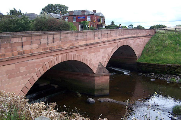
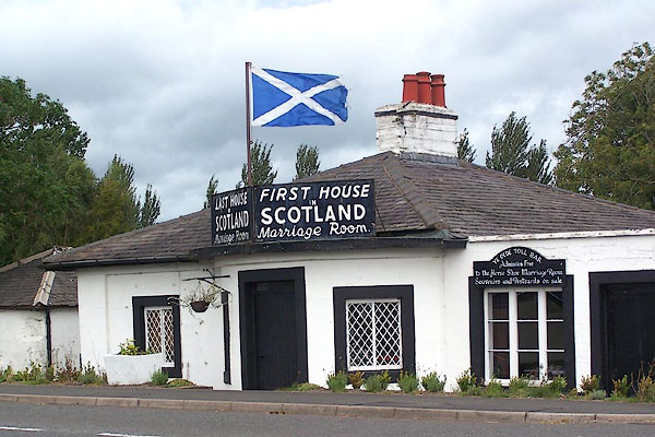
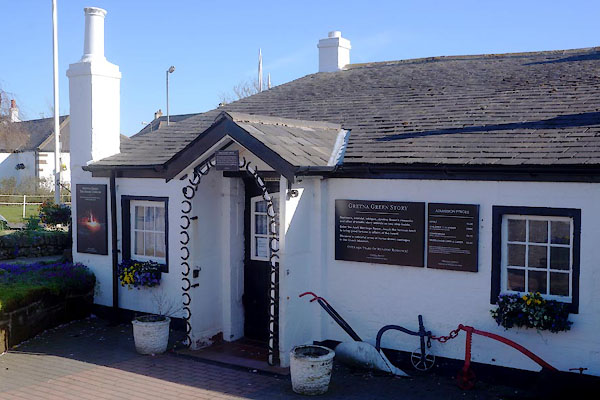
| Gretna, Scotland | ||||
| Gretna | ||||
| country:- | Scotland | |||
| locality type:- | locality | |||
| locality type:- | buildings | |||
| coordinates:- | NY317670 | |||
| 1Km square:- | NY3167 | |||
| 10Km square:- | NY36 | |||
|
|
||||
| evidence:- | old map:- Donald 1774 (Cmd) placename:- Graitnay |
|||
| source data:- | Map, hand coloured engraving, 3x2 sheets, The County of Cumberland, scale about 1
inch to 1 mile, by Thomas Donald, engraved and published by Joseph Hodskinson, 29
Arundel Street, Strand, London, 1774.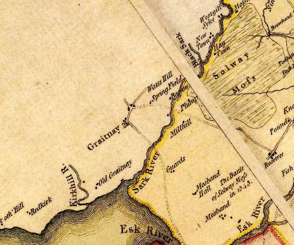 D4NY36NW.jpg "Graitnay" blocks, and usually a church, labelled in upright lowercase; a village item:- Carlisle Library : Map 2 Image © Carlisle Library |
|||
|
|
||||
| evidence:- | old map:- Hall 1820 (Cmd) placename:- Graitney |
|||
| source data:- | Map, hand coloured engraving, Cumberland, scale about 21 miles
to 1 inch, engraved by Sidney Hall, published by S Leigh, 18
Strand, London, 1820-31. click to enlarge click to enlargeHA14.jpg "Graitney" circle, italic lowercase text; settlement item:- JandMN : 91 Image © see bottom of page |
|||
|
|
||||
| evidence:- | old map:- Ford 1839 map placename:- Gretna placename:- Graitney |
|||
| source data:- | Map, uncoloured engraving, Map of the Lake District of
Cumberland, Westmoreland and Lancashire, scale about 3.5 miles
to 1 inch, published by Charles Thurnam, Carlisle, and by R
Groombridge, 5 Paternoster Row, London, 3rd edn 1843.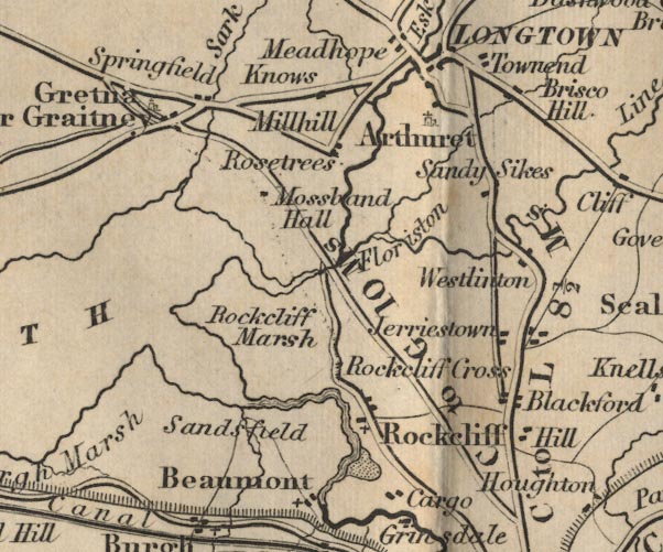 FD02NY36.jpg "Gretna or Graitney" item:- JandMN : 100.1 Image © see bottom of page |
|||
|
|
||||
| places:- |
|
|||
|
||||
|
||||
|
||||
|
||||
|
||||
|
||||
 Lakes Guides menu.