 |
 |
   |
|
|
|
Woolpack Inn |
| Street:- |
Burrowgate |
| locality:- |
Penrith |
| civil parish:- |
Penrith (formerly Cumberland) |
| county:- |
Cumbria |
| locality type:- |
inn |
| coordinates:- |
NY51563021 |
| 1Km square:- |
NY5130 |
| 10Km square:- |
NY53 |
| references:- |
Listed Buildings 2010
|
|
|
|

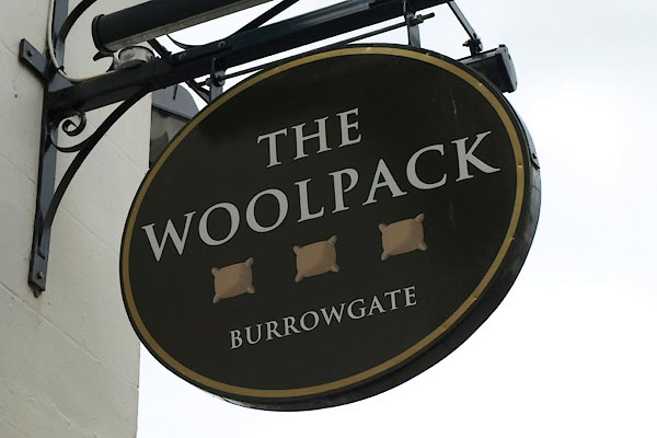
BWL41.jpg Innsign, woolpacks.
(taken 18.5.2012)

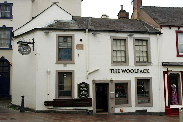
BWL40.jpg (taken 18.5.2012)
|
|
|
| evidence:- |
probably old map:- OS County Series (Cmd 58 4)
placename:- Red Lion Inn
|
| source data:- |
Maps, County Series maps of Great Britain, scales 6 and 25
inches to 1 mile, published by the Ordnance Survey, Southampton,
Hampshire, from about 1863 to 1948.
|
|
|
| evidence:- |
database:- Listed Buildings 2010
placename:- Woolpack Inn
|
| source data:- |
courtesy of English Heritage
"THE WOOLPACK INN / / BURROWGATE / PENRITH / EDEN / CUMBRIA / II / 72791 / NY5154830215"
|
| source data:- |
courtesy of English Heritage
"C18. Two very low storeys, scored stucco over stone, with tethering ring in wall.
Studded door and double sash window on ground floor and 2 single sashes above, all
16-paned. Rear has vertical panelled door, and three 12-paned sashes on each floor."
|
|
|


 Lakes Guides menu.