 |
 |
   |
|
|
|
gone |
|
Whelp Castle |
| locality:- |
Bravoniacum |
| locality:- |
Kirkby Thore |
| civil parish:- |
Kirkby Thore (formerly Westmorland) |
| county:- |
Cumbria |
| locality type:- |
castle (site) |
| coordinates:- |
NY63712558 |
| 1Km square:- |
NY6325 |
| 10Km square:- |
NY62 |
| references:- |
Jackson 1990
|
|
|
|

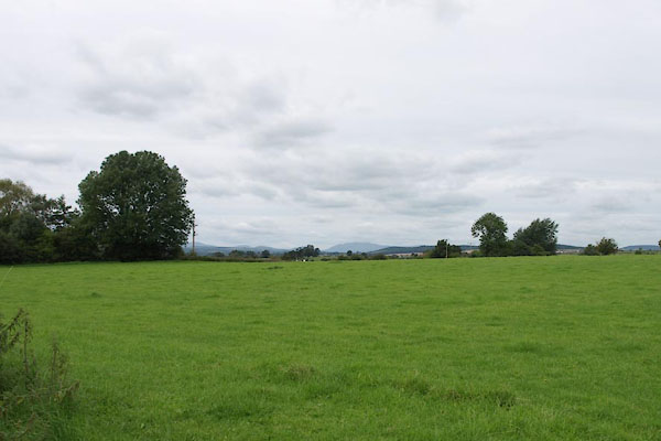
BXF18.jpg (taken 31.8.2012)
|
|
|
| evidence:- |
old map:- OS County Series (Wmd 9 1)
placename:- Whelp Castle
|
| source data:- |
Maps, County Series maps of Great Britain, scales 6 and 25
inches to 1 mile, published by the Ordnance Survey, Southampton,
Hampshire, from about 1863 to 1948.
"Whelp Castle (Site Of)"
|
|
|
| evidence:- |
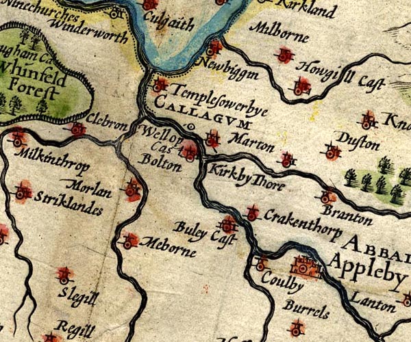
old map:- Speed 1611 (Wmd)
placename:- Wellop Castle
|
| source data:- |
Map, hand coloured engraving, The Countie Westmorland and
Kendale the Cheif Towne, scale about 2.5 miles to 1 inch, by
John Speed, 1610, published by George Humble, Popes Head Alley,
London, 1611-12.

SP14NY62.jpg
"CALLAGUM / Wellop Cas"
circle; notice the line towards the label
item:- Armitt Library : 2008.14.5
Image © see bottom of page
|
|
|
| evidence:- |
old map:- Badeslade 1742
placename:- Whelp Castle
|
| source data:- |
Map, uncoloured engraving, A Map of Westmorland North from
London, scale about 10 miles to 1 inch, with descriptive text,
by Thomas Badeslade, London, engraved and published by William
Henry Toms, Union Court, Holborn, London, 1742.
 click to enlarge click to enlarge
BD12.jpg
"Kirby Thume &Whelp Cast."
circle with a flag, italic lowercase text
item:- Dove Cottage : 2007.38.62
Image © see bottom of page
|
|
|
| evidence:- |
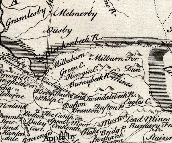
old map:- Simpson 1746 map (Wmd)
placename:- Whelp Castle
|
| source data:- |
Map, uncoloured engraving, Westmorland, scale about 8 miles to 1
inch, printed by R Walker, Fleet Lane, London, 1746.

SMP2NYR.jpg
"Kirby Thurce and Whelp C."
item:- Dove Cottage : 2007.38.59
Image © see bottom of page
|
|
|
| evidence:- |
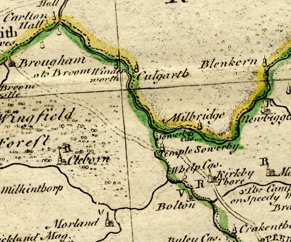
old map:- Bowen and Kitchin 1760
placename:- Whelp Castle
|
| source data:- |
Map, hand coloured engraving, A New Map of the Counties of
Cumberland and Westmoreland Divided into their Respective Wards,
scale about 4 miles to 1 inch, by Emanuel Bowen and Thomas
Kitchin et al, published by T Bowles, Robert Sayer, and John
Bowles, London, 1760.

BO18NY52.jpg
"Whelp Cas."
circle and line
item:- Armitt Library : 2008.14.10
Image © see bottom of page
|
|
|
| evidence:- |
text:- Jackson 1990
placename:- Castellum Welp
placename:- Wheallep castle
placename:- Wellop castle
|
| source data:- |
|
|
|
hearsay:-
|
Castle reputedly built by Whelp using stones from the roman fort, early 12th century
|
|
|
notes:-
|
earthwork
|
|
Perriam, D R &Robinson, J: 1998: Medieval Fortified Buildings of Cumbria: CWAAS::
ISBN 1 873124 23 6
|
|
|


 click to enlarge


 Lakes Guides menu.