 Old Cumbria Gazetteer
 |
 |
|
| turret 52A, Waterhead | ||
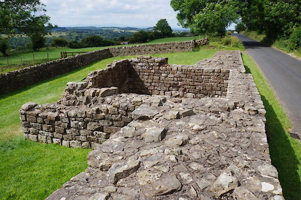
| Banks East Turret | ||
| site name:- | Hadrian's Wall | |
| civil parish:- | Waterhead (formerly Cumberland) | |
| county:- | Cumbria | |
| locality type:- | roman site | |
| locality type:- | viewpoint | |
| coordinates:- | NY57476472 | |
| 1Km square:- | NY5764 | |
| 10Km square:- | NY56 | |
|
|
||
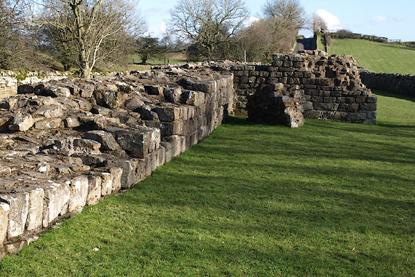
 CAY38.jpg (taken 27.6.2014) 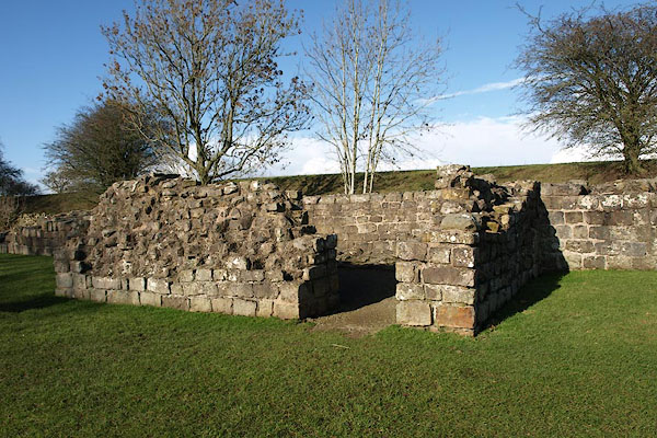 BUB18.jpg (taken 16.2.2011) |
||
|
|
||
 BUB17.jpg (taken 16.2.2011) 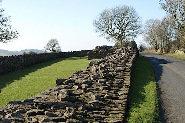 BUB20.jpg (taken 16.2.2011) 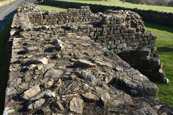 BUB19.jpg (taken 16.2.2011) |
||
|
|
||
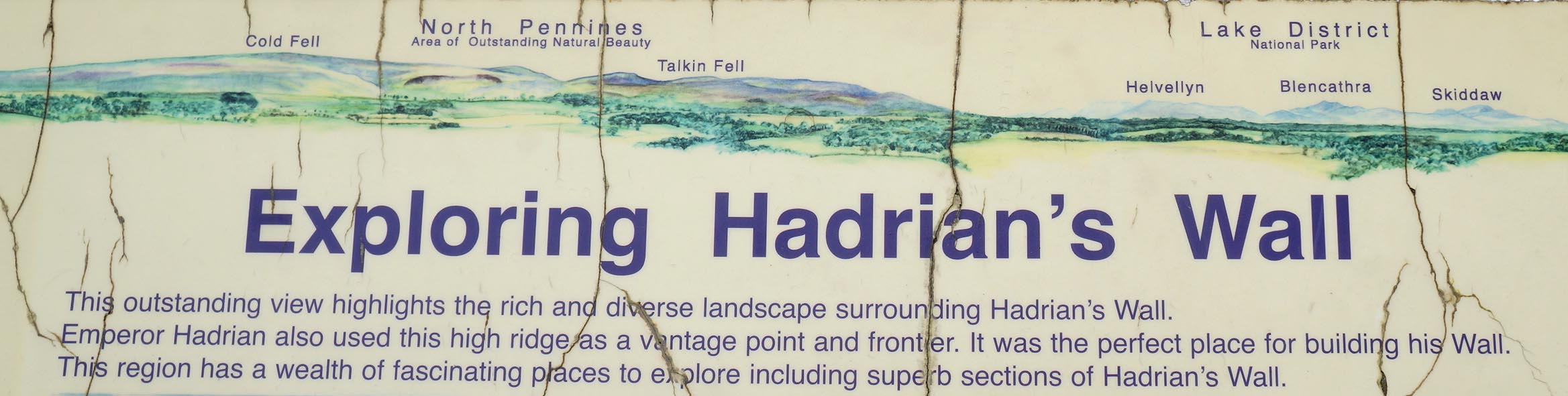 Click to enlarge CAY36.jpg Outline view on the information panel. (taken 27.6.2014) 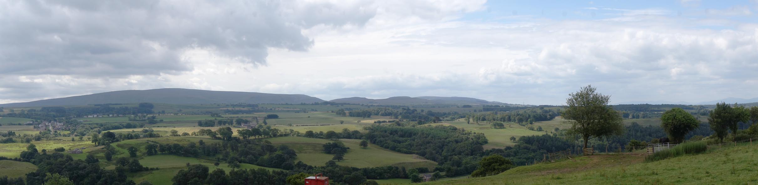 Click to enlarge CAY37.jpg The view here. (taken 27.6.2014) |
||
|
|
||
 Lakes Guides menu.