 Old Cumbria Gazetteer
 |
 |
|
| turret 51A, Waterhead | ||
| Piper Sike Turret | ||
| site name:- | Hadrian's Wall | |
| civil parish:- | Waterhead (formerly Cumberland) | |
| county:- | Cumbria | |
| locality type:- | roman site | |
| coordinates:- | NY58836531 | |
| 1Km square:- | NY5865 | |
| 10Km square:- | NY56 | |
|
|
||
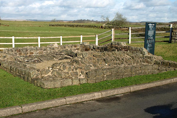 BUB30.jpg (taken 16.2.2011) 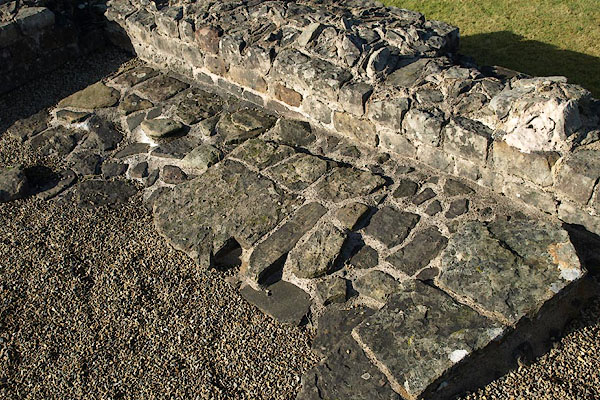 BUB31.jpg Footings of the ladder. (taken 16.2.2011) |
||
|
|
||
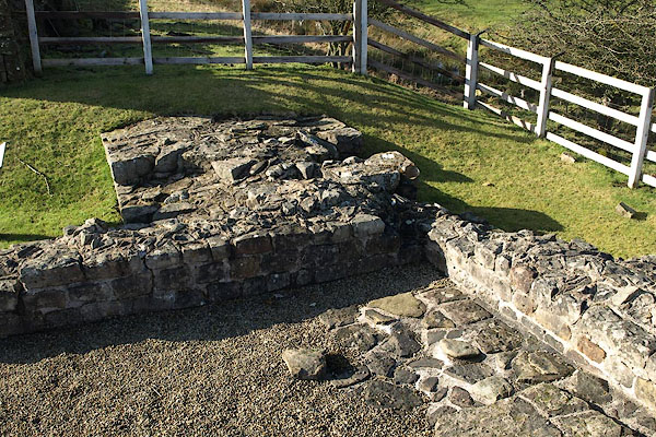 BUB34.jpg (taken 16.2.2011) 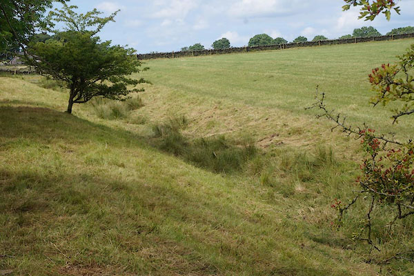 CAY41.jpg Ditch to the W. (taken 27.6.2014) |
||
|
|
||
 Lakes Guides menu.