Old Cumbria Gazetteer
 |
 |
|
||
| Tom Gill | ||||
| locality:- | Tom Heights | |||
| civil parish:- | Coniston (formerly Lancashire) | |||
| county:- | Cumbria | |||
| locality type:- | river | |||
| 1Km square:- | SD3299 (etc) | |||
| 10Km square:- | SD39 | |||
|
|
||||
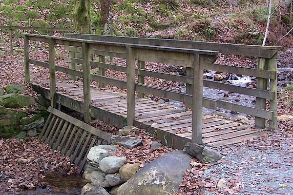
 BVR65.jpg At a footbridge, (taken 15.11.2011) 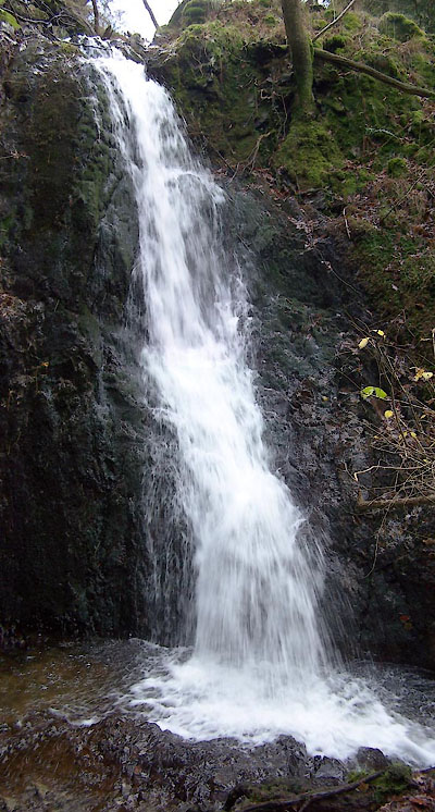 BVR62.jpg Waterfall at, (taken 15.11.2011) |
||||
|
|
||||
| evidence:- | old map:- OS County Series (Lan 2 13) placename:- Tom Gill |
|||
| source data:- | Maps, County Series maps of Great Britain, scales 6 and 25
inches to 1 mile, published by the Ordnance Survey, Southampton,
Hampshire, from about 1863 to 1948. "Tom Gill" Runs from The Tarns, at a:- "Sluice" |
|||
|
|
||||
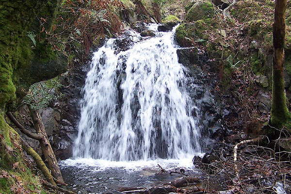 BVR61.jpg Waterfall about, (taken 15.11.2011) 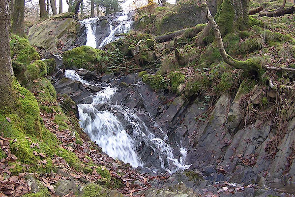 BVR63.jpg Waterfall about, (taken 15.11.2011) |
||||
|
|
||||
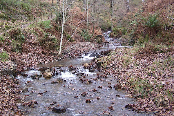
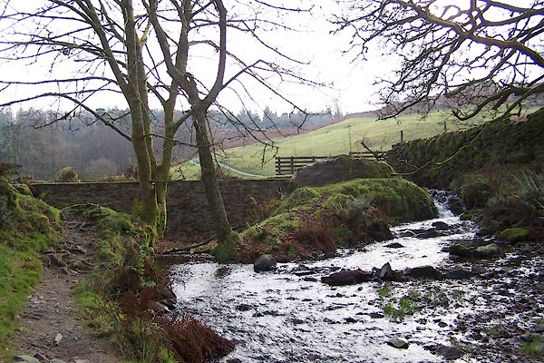 BVR59.jpg running from The Tarns at, (taken 15.11.2011) 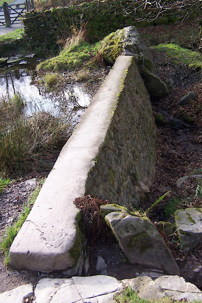 BVR60.jpg Dam at, (taken 15.11.2011) |
||||
|
|
||||
| places:- |
|
|||
 Lakes Guides menu.