 Old Cumbria Gazetteer
 |
 |
|
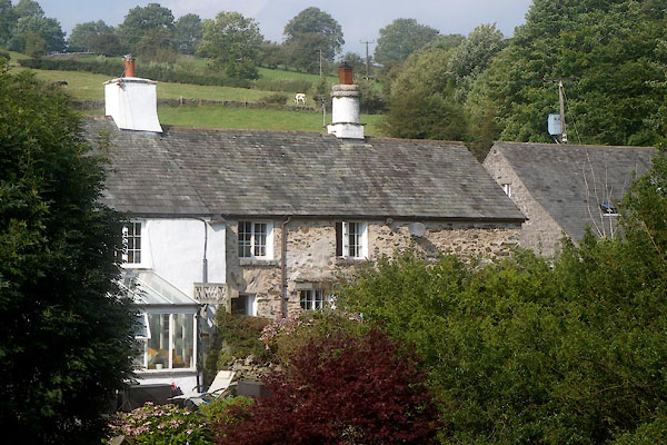
| Skinner Hill, Lindale | ||
| Skinner Hill | ||
| civil parish:- | Upper Allithwaite (formerly Lancashire) | |
| county:- | Cumbria | |
| locality type:- | buildings | |
| coordinates:- | SD41318078 | |
| 1Km square:- | SD4180 | |
| 10Km square:- | SD48 | |
| references:- | Listed Buildings 2010 |
|
|
|
||
 CDW63.jpg (taken 11.9.2015) |
||
|
|
||
| evidence:- | old map:- OS County Series (Lan 12 12) placename:- Skinner Hill |
|
| source data:- | Maps, County Series maps of Great Britain, scales 6 and 25
inches to 1 mile, published by the Ordnance Survey, Southampton,
Hampshire, from about 1863 to 1948. |
|
|
|
||
| evidence:- | database:- Listed Buildings 2010 placename:- Skinner Hill item:- spice cupboard |
|
| source data:- | courtesy of English Heritage "SKINNER HILL / / / UPPER ALLITHWAITE / SOUTH LAKELAND / CUMBRIA / II / 422227 / SD4130680785" |
|
|
|
||
 Lakes Guides menu.